
 |
The Tuesday Night Club Official Web Site |
The Tuesday Night Club on Tour
Tours 2000, BCN, Severn Estuary, K&A and River Wey
20 - Wednesday 19th July - Purton to Bristol. Gloucester and Sharpness Canal to Sharpness. Severn Estuary and Bristol Avon to Bristol Floating Harbour.
Click Hear for a chartlet of the Avonmouth area.
The
weather was bl**dy Perfect! Ideal for MPBC trip down the
estuary! and it was only just
going off Springs!
We left Purton at 7.40 after Neil erected the Severn estuary anchor, using all available chain (150ftish) and about 250ft of rope.
We decided to use one of Dudley Tunnel water ballast dustbins as chain / rope / anchor bin. Having already
retrieved said stuff from Beatty's reverse trip we know how filthy it gets! We
arrived at Sharpness high level bridge at 8.00, with the barge we had been trailing from Saul Junction. The low level bridge was soon swung and we
spotted George Eycott and John Palmer watching our arrival from the bridge. Both
boats went straight through and tied up in the Inner Lock to wait the water and in our case pilot
Phil. The barge was going through to Milford Haven, for conversion into a
pleasure craft, its new owners had hired an experienced captain.
George Eycott soon arrived, having been given a lift in a Waterways Recovery
Group van by John Palmer (known as JP by the WRGies). During this next period there mainly followed a GPS setting up competition! At 10.00 the lock keeper
finally dropped the rest of the water in the lock (we had already gone down 6ft as the bottom gates leaked so
badly!) The barge shot off out into the flood and we moored up on the new pontoon in the tidal basin. At 10.20
Phil the pilot arrived and we started off to punch the last of the flood. High
water was at 10.35. Even at the start the GPS indicated speed was 4.5 mph and when the ebb started we
got up to around 10mph with the throttle slightly back. Phil was quite new to piloting, having been a captain of the Waverley and Balmoral steamers.
The passage was totally uneventful, there was a bit of lurching, lining up for
the Shoots. It was just a bit boily before and in the shoots, just a couple of
splashes up into the front cockpit. Phil was adopting a slightly different and much more advantageous approach to getting up the Avon. We
dropped him on the Royal Portbury Dock upstream breakwater pontoon (12.55). This is normally occupied by their dredger, but as usual it was out. Phil
advised NOT to anchor and beach near Portishead Dock lock, as it was getting
very corrugated but to anchor just off the Portbury Breakwater. He then said what he would UNOFFICIALLY do, is to
stay where we were!!!! But keep a low profile and not go up the steps to the breakwater top. We did indeed get away with this and the anchor was never
used. This mooring had the advantage in that we had a clear run up the Avon, not having to go
in front of the entrances to the docks. In the Bristol Floating Harbour we met
another narrowboater, who had just done the similar journey, but with another
pilot. This pilot got dropped of at the entrance to Avonmouth Docks. This pilot
then recommended that they anchored centre channel, just upstream of the
Bristol Avon M5 Bridge, as it does not dry out here.
Avonmouth signal station told us to start creeping up the Avon at 18.00. At 17.50 we heard
that a motor sailer (Aliesha) was starting away from Portishead, so we shot off in front. At 18.00 we were in the Avon and on our home run. We tried to
throttle back from 10mph, but still had to do 8mph to get steering. Aliesha was soon up our back sides, but soon held back when we started doing manual
depth sounding with the barge pole! We had to wait for 15 minutes for the lock to start working, we moored up to some steps (19.00) and in the interim
we tried to get another bow line on an inset bollard.
During this escapade it was thought that John's GPS had committed suicide by jumping in the Avon,
but it later transpired that it was Neil's mobile phone! Obviously Neil was "slightly upset", because a) the mobile belonged to
the "White Weather Witch" (fortunately, Sophie the "Black magic
woman" had finally ousted her bad weather spells!) and b) the PCMA modem card in
the bl**dy laptop does not use a serial connection and the software / lead cost a small fortune (75 GBP) After fruitless searching's with the boat hook/
kids net / sea searcher (are mobiles vaguely magnetic?) Ian Scott offered to sacrifice him self and dive in for it. Neil declined the offer,
as by that time the water was rising by 6ins every few minutes and the locky desperately wanted to drop the water.
At 19.40 We entered the lock. The antique method of taking your ropes was to dangle down a thin rope with a ball on the end. They wanted the end as there
were only rings available. Aliesha had a lot more trouble than us. George (bow rope man) was well aware of what would happen and tied the rope on the
T stud. The lady on Aliesha lost her grip, the boat shot over the other side and she gashed her leg on the inconveniently placed folding bike.
We got out in front of them as they wanted the high level Plimsoll Swing Bridge swung for
their mast.
We went straight to the Harbour Masters Office in Underfall Yard and got our (12.30 GBP)
mooring pass for the night. There was no mooring available here and had to more
up to one of their work boats. Funnily enough this came from the same stable as
Earnest, having been built by Hancock and Lane! As the Bristol Waterways festival was not far
away there were many pontoons and at 20.20 we finally moored up outside the Lloyds / TSB building.
This was after narrowly missing the approaching "Galleon". This turned
out to be a replica of John Cabot's "Matthew". It was not under sail,
but using it's secret diesel engine!
Linda was in a non talking mode concerning her mobile, so we had to sort it fairly quickly. "Mr
Vodafone" George E said that there was at least one Vodafone shop in Bristol (there transpired to be 4 and another opening
soon!) and he did have all "the stuff" for Nokia mobiles. That night
we (Neil, Andrew and George) went to the well known Rajdooht Indian Restaurant.
This started off very promising, but the main dishes were a bit bland. Sophie guarded the boat and John C got a lift to retrieve his car from his
nephews at Thornbury. That night there were 6 on Earnest (record so far). George
drew the short straw and got the single dinette berth. (This was opposed to getting the exceedingly short straw and sharing with Neil!).
It was a hot night with hatches open and Neil remembers being woken up by a crash and an
apology. This activity turned out being George nearly falling
out of bed and clouting Andrew!
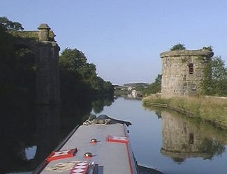 Heading towards Sharpness. The remains of the swing railway bridge over the canal. From her onward the dismantled Severn Railway bridge used to continue. Gloucester and Sharpness Canal. |
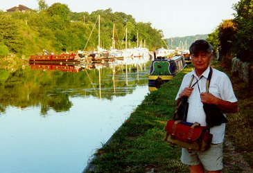 John Chapman, Old Sharpness Lock Arm. Gloucester and Sharpness Canal. (Photo - Andrew Goodland.) |
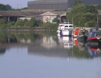 Just about to enter Sharpness Docks. Old Lock Arm and moorings to the right. Gloucester and Sharpness Canal. |
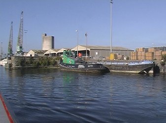 We have just passed under the High Level Swing Bridge and are about to go through the opened Low Level Swing Bridge. Sharpness Docks. Gloucester and Sharpness Canal. |
 Low Level Swing Bridge. Sharpness Docks. Gloucester and Sharpness Canal. |
 Looking back at the Low and High Level Swing Bridges. Sharpness Docks. Gloucester and Sharpness Canal. |
 George Eycott (centre) has been brought to the docks by senior WRGie John Palmer. We have no idea who the other onlooker was in the white shirt. Gloucester and Sharpness Canal. |
 Sharpness Docks. |
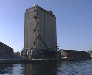 This is the grain tower that is a landmark from the salty side! Sharpness Docks. |
 Sian, the only proper boat in the docks. Sharpness Docks. |
 The barge we followed down the canal is first in the lock. They are on their way to Milford Haven and will be punching the tide. Sharpness Docks. |
 Going straight through to the lock. Sharpness Docks. |
 Although the port is privatised. BW still control the locks and bridges. Sharpness Docks. |
 George E arrives with JP. We need our new long lines! Sharpness Docks. |
 View down the estuary from the Sharpness Docks. |
 Telephoto shot of Berkley Nuclear Power Station from Sharpness Docks. |
 The upper lock bottom gate. Sharpness Docks. |
 The down stream breakwater. Sharpness Docks. |
 Looking back at the docks from the last viewpoint. Sharpness Docks. |
 The upstream breakwater. Sharpness Docks. |
 Looking back at the tidal basin. When we arrived in 1994, we moored up to the big piled dolphin to the left. Sharpness Docks. |
 The new floating pontoon in the tidal basin. This was not here in 1994 and we had to moor to one of the big dolphins opposite. Sharpness Docks. |
 They are just opening the tidal basin lock gates. Sharpness Docks. |
 The very leaky upper lock bottom gates. We had to keep adjusting our lines as we fell in the lock, due to leakage! Sharpness Docks. |
 We are now penned up in the upper lock, ready to be locked down to the tidal basin, when there is enough water. Sharpness Docks. |
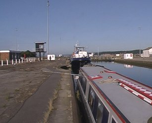 Waiting in the upper lock. Sharpness Docks. |
 During the wait there is mass GPS programming. Sharpness Docks. |
 George E, John C and Andrew G. Sharpness Docks. |
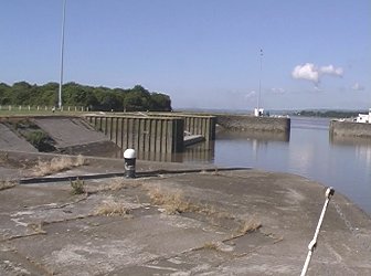 Looking down at the tidal basin. Lydney on the far shore. The Severn speeds in below. Sharpness Docks. |
 Looking across at Lydney. Sharpness Docks. |
 Looking across at Lydney. Sharpness Docks. |
 As you can see, we have already fallen 6 feet due to leakage. Sharpness Docks. |
 All aboard, nearly ready to open the gates. We will wait for our pilot on the floating pontoon, while the barge went straight out. Sharpness Docks. |
 We set of 15 minutes early to punch the last of the tide. George E, John C, Ian S, pilot Phil and Andrew G. Everyone tries to look either concerned or mean! Just leaving Sharpness Docks. |
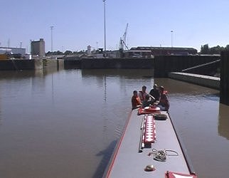 Just leaving the tidal basin. Sharpness Docks. |
 Just leaving the tidal basin. Sharpness Docks. |
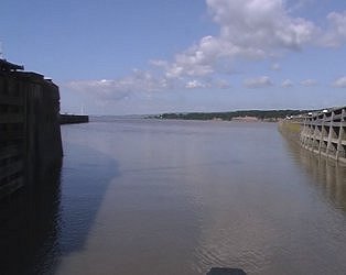 Out to between the breakwaters. Sharpness Docks. |
 Out to between the breakwaters. Sharpness Docks. |
 Approaching the point of no return! Sharpness Docks. |
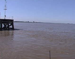 The point of no return! Sharpness Docks. |
 Pilot Phil is soon up to max revs and we make nearly 5mph, against the end of the flood. Severn Estuary. |
 Leaving the breakwaters at Sharpness. Note the tidal flow still flowing upstream. Severn Estuary. |
 A very telephoto shot down at the bridges. Severn Estuary. |
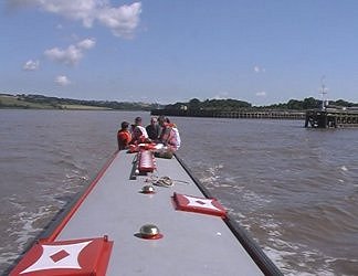 Looking upstream, back at Sharpness breakwaters. Severn Estuary. |
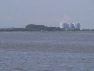 Telephoto shot forward to Oldbury Nuclear Power Station. Severn Estuary. |
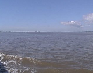 View down to Oldbury Nuclear Power Station. Severn Estuary. |
 Sharpness is beginning to disappear behind us. Severn Estuary. |
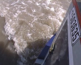 Rear end excitement, caused by maximum revolutions! Severn Estuary. |
 Looking directly across, just above Lydney. Severn Estuary. |
 looking across the Severn Estuary, just below Lydney. |
 Telephoto shot looking back at Sharpness. Severn Estuary. |
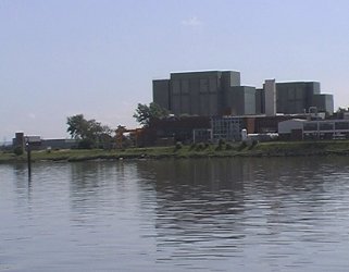 We come alongside Berkeley, the first of the two Nuclear Power Stations. Severn Estuary. |
 Looking back from beside Berkeley Nuclear Power Station. Severn Estuary. |
 Looking forward from beside Berkeley Nuclear Power Station. Severn Estuary. |
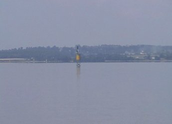 The north cardinal marker on Hayward Rock. Are we not meant to have gone to the north of this? The Severn Estuary. |
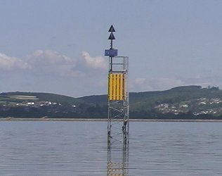 The north cardinal marker on Hayward Rock. Severn Estuary. |
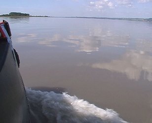 Ideal playground for the Mill Pond Boaters Club! (MPBC). Severn Estuary. |
 Looking across at Alvington / Aylburton on the north bank of the Severn Estuary. |
 Telephoto shot looking back to Lydney on the north bank of the Severn Estuary. |
 We start to swing away from the Gloucestershire (South) side of the Severn Estuary. You can just see the Hayward Rock North Cardinal marker. |
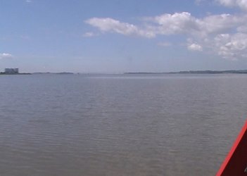 We start to swing over to the north side of the estuary. Oldbury Nuclear Power Station to the left. Severn Estuary. |
 Telephoto view over to Oldbury Nuclear Power Station. At this point there is a large tidal reservoir between us and the power station. Severn Estuary. |
 Very telephoto shot over to Oldbury Nuclear Power Station. Severn Estuary. |
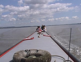 Looking back. Severn Estuary. |
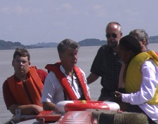 Earnest's bridge seems full up! Severn Estuary. |
 Another very telephoto view back at Oldbury Nuclear Power Station. Severn Estuary. |
 The view down to the bridges. Severn Estuary. |
 Telephoto shot of River Wye M4 Bridge in distance behind headland. At least we keep to the north of this buoy! On the headland ahead (Beachley Point) are the Slimeroad markers, that we will be following soon. Severn Estuary. |
 Another north cardinal marker, on the edge of Narlwood Rocks (telephoto shot). We keep to the north of this one! Severn Estuary. |
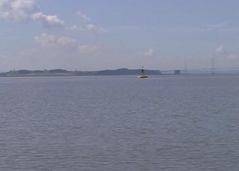 Cardinal marker, on the edge of Narlwood Rocks. The bridges start to loom ahead. Severn Estuary. |
 Looking across at the north bank of the Severn Estuary, around Stroat. |
 Telephoto shot of Stroat. Severn Estuary, north bank. |
 The Inward Rocks leading alignment markers, on the north bank of the Severn Estuary. |
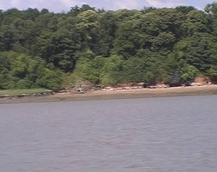 We start to get quite near the north bank of the Severn Estuary. |
Home Page | "Earnest" | "Beatty" | Canal Restoration