
 |
The Tuesday Night Club Official Web Site |
The Tuesday Night Club on Tour
The 1997 Mega Cruise
4. River Derwent to Sowerby Bridge, River Derwent, Tidal River Ouse, Selby Canal, River Aire, Aire and Calder & Calder & Hebble Navigations.
Monday 30th June saw Ian Scott and John Rushbrook
make an early start to get their booked taxi. The rest of the
crew stayed in bed. We had booked our passage out from Barmby at
about 12.30 so we could use most of the flood up to Naburn, so we
were not in any hurry. We were soon enlivened by a Mr E fry-up
and got under way at 9.15. The Journey to Barmby was uneventful,
we knew what course to take across the flooded water meadows and
got there at 10.55. When tied up on the pontoon we phoned Naburn
to tell them of our impending arrival.
Neil got a frosty
reception from the normally cheerful Naburn Locky, did we know
what state the River Ouse was in ? Locky said that it was 6 feet
up at Naburn, the lock was just useable, but there was no
moorings at Naburn as they were under 2 feet of water. He
wondered if the Barmby Locky was barmy letting us out, with the
flood having little effect a Narrowboat was unlikely to reach
Naburn during the period of flood. Naburn Locky also told us that
the level had increased at Boroughbridge and more flow was
expected downstream soon. We agreed and said we would go to Selby
instead as we did not want to get marooned at Barmby, not one of
the most interesting places on the waterways.
Selby Locky was
soon contacted, he was still unhappy about a Narrowboat being on
the Ouse, but agreed we were powerful enough to reach Selby when
we told him what we had already been through. Selby Locky worked
out we should leave at 16.00 to get the most effect of the almost
non-existent flood. Neil walked up to the Barmby Control Room,
the guillotine sluices were all up as they struggled to release
water from the Derwent, the Ouse still being high for this state
of the tide.
Neil told the Barmby Locky they were now going to
Selby and they wanted to leave at 16.00. Locky said OK and that
by 16.00 he would not be sluicing and that he would prepare his
lock and call us up on his pontoon repeater traffic lights at
16.00. By now it was raining again and we had a four and a half
hour wait, to relieve the boredom we decided to stage this years
"Pin up poll" from the Summer special version of
Mayfair magazine. Julian's new toy this year was a Psion
Organiser, which has a basic spread sheet program. Julian through
work is an Excel wizard, so he had soon created a hi-tec score
chart on his Psion.
At 15.55 the lights went green and we sidled up to the lock. At !6.15, after vowing to the Locky to be back as we had unfinished business in Stamford Bridge we shot out into the confused River Ouse. The flood was having little effect against the fresh coming down, so all the way to Selby it was like travelling in still water. As requested we phoned Selby Locky as we passed the chemical works so he could prepare the lock. Neil judged the approach perfectly as it was high tide, this was just as well as we had a welcoming committee of other laid up boaters. It had taken us under an hour, arriving at 17.05, not bad with out any flood to help us. We were soon tied up in the basin, Locky told us to stay on the water point as the Selby Boat Centre hire boat was out and that normally moored there!
Our despondency of not getting further up the
Ouse than Selby had abated somewhat, now at least we were mostly
on canals and off salt water. We had decided to do the next part
of the cruise the wrong way round. This meant that we would get
as far up the Rochdale as we could and get back to Hebden or
Sowerby Bridge by next Sunday for the next crew change. Most of
the crew now felt more at home, except Ian Clark, for him this
was going to be a new and unexpected experience.
Neil was still
worried about river levels on the River Aire section above the
Selby canal and phoned the relevant B.W. Waterway office to see
if this was still passable in a Narrowboat. B.W. Castleford
office was duly phoned and Neil enquired with the receptionist.
"Yes, the Aire and Calder being a commercial waterway is
always navigable." came the reply. Neil then re-iterated
that he was enquiring about the River Aire from Bank Dole
Junction to the junction with the Selby Canal at West Haddersley.
The receptionist said that this could not be under their control
and that it must be another area. Neil then said that they claim
ownership of it in this years stoppage list and perhaps she could
go away and find out. After some mumbling in the background she
came back now claiming ownership and that they did not think
there was any problem at the moment. Neil then asked about the
Calder and Hebble and if any flood gates were shut closing the
navigation. This time there was an instant response saying that
one had been shut but the level was now down and the whole
waterway was open. A case of a little used waterway being
"lost" by British Waterways. That evening we went
shopping in the excellent new Safeway supermarket and acquainted ourselves with Selby. We went to the excellent "Albion
Vaults" pub in the centre, followed by a bland Chinese in
the new restaurant opposite Safeway.
Tuesday 1st of July saw us leave late at 9.45 but
in a rush as a cruiser had just opened the swing bridge out of
the basin. He let us through the bridge first and we said we
would open up West Haddersley Flood Lock as the lockkeeper had
said it would probably still be shut. We passed through the lock
together with about a 2 foot drop and were soon struggling along
on the River Aire. The cruiser soon overhauled us but waited for
us at Beal, then again at Bank Dole Lock. At 13.15 we entered
familiar territory as we quickly sped in front of an approaching
loaded barge, the "Brocodale" and onto the Aire and Calder Navigation.
Since
meeting an empty push-pull coal pan right in the worse bridge
hole (Skew Bridge) on our first cruise on this interesting
waterway, we have always had a healthy respect for the A&C
and always post a lookout on the bow. This year we saw the
waterway the busiest we have ever seen it, us, the cruiser and
the gaveler behind crossing an empty coal pan and oil tanker
barge in the short reach between Shepherds Bridge and Cow Lane
bridge. The cruiser stopped below Ferrybridge Flood Lock, which
we shared with the graveler behind. After Ferry Bridge the
graveler roared past us just before we met another set of empty
coal pans coming down stream.
As we approached Bulholme Lock the
wandering Locky roared off in his Fiesta van to do the next lock
on the Leeds branch for the graveler and we were left to do it by
ourselves. 15.20 at Castleford Junction saw us turn up the
Wakefield branch for the first time. We had been saving this up
until the Tuel Lane blockage had been removed and we could be let
loose on the Rochdale Canal. All the powered locks up to the
Calder and Hebble at Fal Ing Lock were un-manned and Ian Clarke
soon got used to use of the B.W. key.
We passed Stanley Ferry
going on the old aqueduct and arrived at Fal Ing Lock at 18.15. A passing small Narrowboat
had warned us about the fierce gate paddles, we thanked him
saying we would be OK at the moment as John Fleming was not yet
here. ( John F is an expert at getting all the top paddles up in
a matter of seconds, he does not mind what order they come up in,
they are all the same to John!). At Thornes Lock
Neil was the first to try out our "Wickes" hardwood
handspikes on the top gate paddles. At other locks further up we
experimented with the top paddles, working out the best order to
use them for a quick assent while pinning the boat to the lock
side. The Calder and Hebble is a totally different waterway to
the A&C Wakefield Branch which we found a bit boring and
bleak. We liked the Calder and Hebble with its numerous flood
locks and river sections. We cleared Wakefield to get more in the
open and moored up at 19.40 in Broad Cut beside the
"Navigation", a quaint OK pub in a nice setting.
We made an early start at 6.05 from Broad Cut,
the idea being to get past Tuel Lane tonight as Malcolm the lock
keeper had Thursday as a day off. The Calder and Hebble was found
to be deep and fast even in the cut sections and we soon reached
Thornhill Double Locks at 7.35 and Shepley Bridge Marina at 9.00.
It was here that Neil spotted "Bain Marie" the
ridiculous looking boat (actually a small trip boat) that
featured in the B.B.C. Television series "Cook on the wild
side". Brighouse Basin was passed at 11.15 and at 13.50 we
stopped for water and lunch at Salterhebble Locks. We were out of
Salterhebble Top Lock at 15.05 and arrived at Sowerby Bridge at
15.45. We went up the first two Rochdale locks and met Malcolm
who told us to pull up behind the waiting Shepley Bridge Marina
hire boat. He was just preparing the deep lock for them and we
could go up together.
When we were nearly up Julian went to pay
for our £26.00 two week license and remarked to Neil that there
was still a restriction on boats going down the other side of the
summit to Littleborough. When Julian had got the license he went
back to the boat for a few "Tinnys" for Malcolm as he
thought he needed cheering up. It obviously worked as he took
Julian and Neil aside and remarked " I could not help over
hearing you talking about going down the other side. There seems
plenty of water and what with you coming so far, give Callis a
ring I'm sure they will sort you out". He gave us a scrap of
paper with the telephone number of Callis Mill, which is the
Rochdale Canal Trust workshops.
At 16.55, we proceeded with
renewed vigor, at least all this bloody rain and our habit of
bribing lock keepers was paying off. That night we moored on an
old wharf (towpath side) just before Luddenfoot, Station Road
Bridge No.6, stopping at 17.30. On the way from Tuel Lane, Julian
had prepared a meal which we had just after mooring up in, yes
you guessed it, pouring rain. After this we had a swift few pints
in the "Weavers Arms" the first of many Thwaites Pubs
we were destined to visit. We retired early as we were going to
try to get to the summit tomorrow night.
 Due to the fact that we have to switch destinations to Selby, we have a wait at Barmby. Colin and Julian while away the time conducting the 1997 pin-up poll |
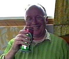 Julian seems to find the videoing of this amusing! |
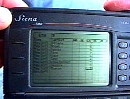 The 1997 pin-up poll with hi-tec scoring. |
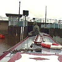 Finally we enter Barmby Lock, exit from the River Derwent onto the Tidal River Ouse. Raining of course. |
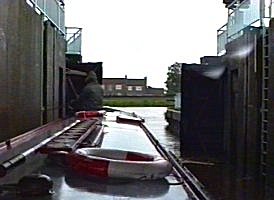 Locking out on to the Tidal River Ouse at Barmby just before high water |
 The approach to Selby. Tidal River Ouse. |
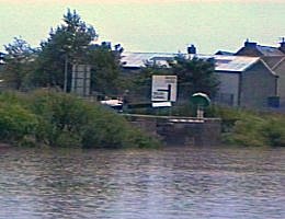 Final approach to Selby Lock. Tidal River Ouse. |
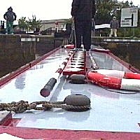 Entering Selby Lock. Still raining! |
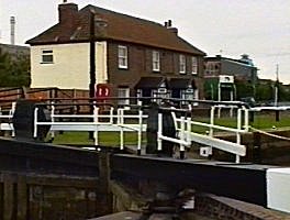 Selby Lock, later that evening when it finally stopped raining. We are now on the Selby Canal. |
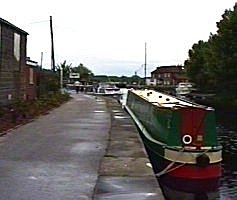 Selby Basin. Selby Canal. |
 The boater operable electric swing bridge just beyond Selby Basin. We found that this has a timer interlock and will not operate early or late, there are visitor moorings the other side of it. |
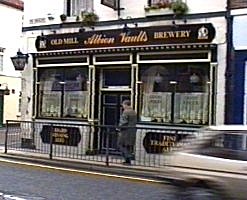 The "Albion Vaults" pub in Selby, much visited on our three stops in Selby! |
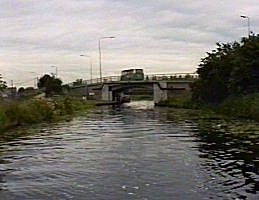 Bawtry Road Bridge, on the exit from Selby. Selby Canal. |
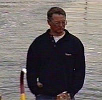 Ian Clarke seems to find the Selby Canal interesting, or is it just narrowboats in general? |
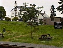 The "Anchor Inn" at Burn Bridge, mid point on the Selby Canal. |
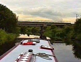 The 1980's deviation of the East Coast Main Line bridge across the Selby Canal. |
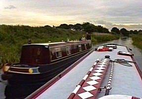 We find another boat moving! the first one in many days! |
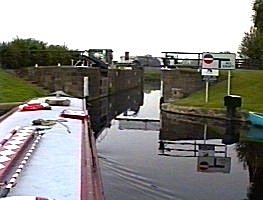 West Haddlesey Flood Lock on to the River Aire. This picture is from our second time back here, when it was open straight through. |
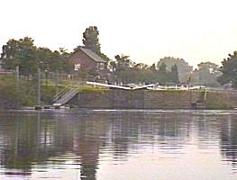 Telephoto shot of Beal Lock on the River Aire. |
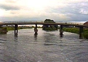 Looking back at Beal Lock (right) and unprotected weir (left). River Aire. |
 Neil seems happy! probably because it is not raining for once. |
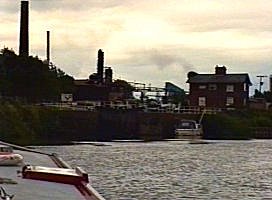 The approach to Bank Dole Lock and exit off the River Aire and onto the Aire and Calder navigation at Knottingley. |
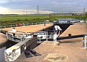 Locking up Bank Dole with the cruiser we left Selby with. |
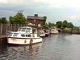 Exit from Bank Dole Lock. |
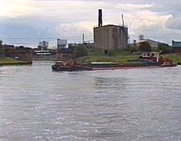 We whiz in front of this loaded graveler, the "Brocodale". Entrance cut to bank Dole Lock is to the upper left. Aire and Calder Navigation. |
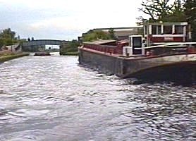 We meet all manner of things coming through the Knottingley narrows. "Ereda Carless" has just gone the other way. |
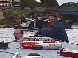 Behind You! Aire and Calder Navigation, Colin and Ian C on barge look-out. |
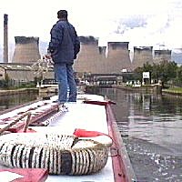 Ferrybridge Lock and power station. |
 We let the "Brocodale" pass us at Ferrybridge. |
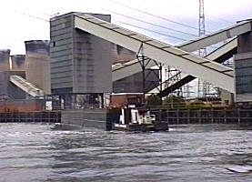 The next three shots show much activity at the coal unloading stage at Ferrybridge power station. Aire and Calder Navigation. |
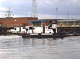 Ferrybridge. |
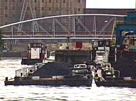 Ferrybridge. |
 This tiny tug we saw on our second passage of this bit of the Aire and Calder Navigation, when we finally went back to Selby for our assault on the upper reaches of the River Ouse.. |
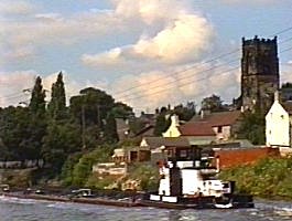 Coal pans and Ferrybridge Church. |
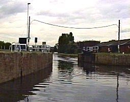 Straight through Castleford Flood Lock. Aire and Calder Navigation. We were going straight on at the cross roads after this, up the Aire and Calder Navigation, Wakefield Branch. |
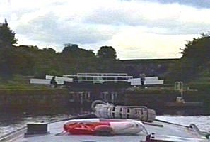 The abandoned Fairies Hill Lock. The Fairies Hill Cut, containing two locks has now been abandoned. This was paralleled slightly up stream by the single Woodnook Lock , which was the only one lengthened in the 1970's |
 Woodnook Lock in the distance. Aire and Calder Navigation, Wakefield Branch. |
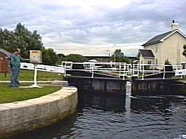 Leaving Woodnook Lock, Colin in control. We have never had a keeper on any of the Wakefield branch locks! |
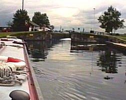 Approaching King's Lock. Aire and Calder Navigation, Wakefield Branch. |
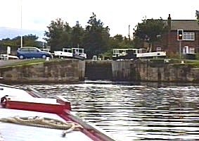 Approaching Birkwood Lock. Aire and Calder Navigation, Wakefield Branch. |
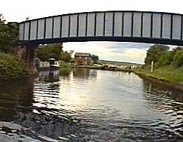 Leaving Birkwood Lock. Aire and Calder Navigation, Wakefield Branch. |
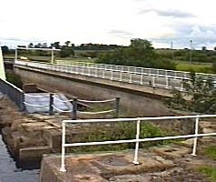 The new Stanley Ferry Aqueduct. |
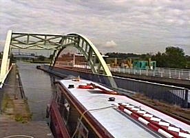 Stanley Ferry Aqueducts. |
 The old Stanley Ferry Aqueduct. Aire and Calder Navigation, Wakefield Branch. |
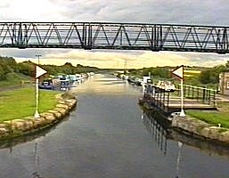 Ramsdens Swing Bridge. Stanley Ferry. |
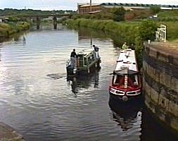 Passing another boat at the entrance to Fall Ing Lock, the start of the Calder and Hebble Navigation. The chutes to the left just before the railway bridge are for loading coal pans with reclaimed coal from spoil heaps in the area. |
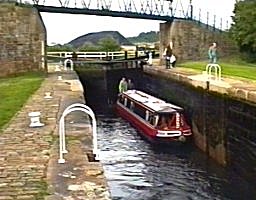 Going up in Fall Ing Lock. This used to have intermediate water saving gates of the official 57ft length. This lock only has fierce top gate paddles. Calder and Hebble Navigation. |
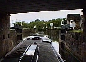 Going straight through Wakefield Flood Lock. |
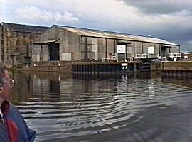 We have just come out of Wakefield Flood Lock onto the River Calder |
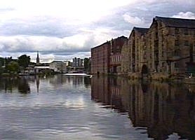 Looking back down the River Calder to Wakefield town centre. Calder and Hebble Navigation. |
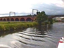 "The 99 Arches" railway bridge just up from Wakefield. River Calder, Calder and Hebble Navigation. |
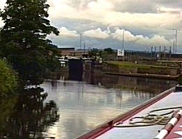 Approaching Thornes Lock and a totally new experience! |
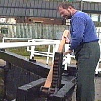 Handspikes are fun! Thornes Lock, Calder and Hebble Navigation. |
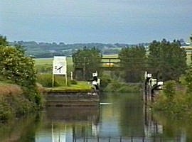 Thornes Flood Lock, straight through and back onto the River Calder again. |
 And back off the river again at Broad Cut Low Lock. Calder and Hebble Navigation. |
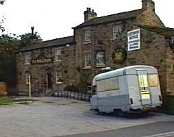 "The Navigation" pub at Broad Cut. |
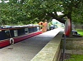 Our moorings, right by "The Navigation" at Broad Cut. Calder and Hebble Navigation. |
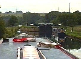 Broad Cut Top Lock. |
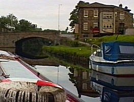 Horbury Bridge. Calder and Hebble Navigation. |
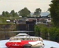 Figure of Three Locks (2!), Horbury Cut. |
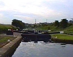 Looking down the Figure of Three Locks. Note the serious ground paddle box at the side. Many of these still had their two paddles working and were very quick. |
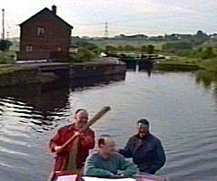 Leaving the Figure of Three Locks. Colin seems un aware Julian is pretending to wack him! |
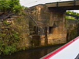 Bridge, steps and mooring bollard recess at Mill Bank Lock. Calder and Hebble Navigation. |
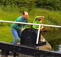 All manner of paddles flying up at Mill Bank Lock. |
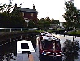 Thornhill Double Locks. Will that boarded up lock cottage survive? |
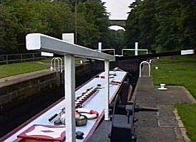 The upper of the Thornhill Locks. Calder and Hebble Navigation. |
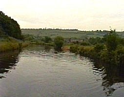 Thornhill Cut. Calder and Hebble Navigation. |
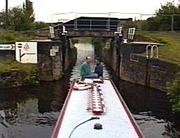 Coming out of Thornhill Flood Lock (now only flood gates) back out onto the River Calder again. |
 Back off the river yet again at Greenwood Lock. Calder and Hebble Navigation. |
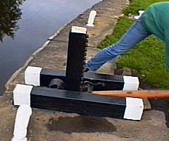 Close up of Colin at work at Greenwood Locks spiked ground paddle. |
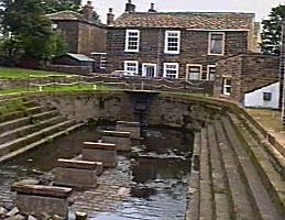 The dry dock at Shepley Bridge. |
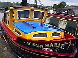 The ridiculous "Bain Maire" trip boat at Shepley Bridge, now somewhat of a film star! |
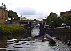 Ledgard bridge Flood Lock, back onto the River Calder. Calder and Hebble Navigation. |
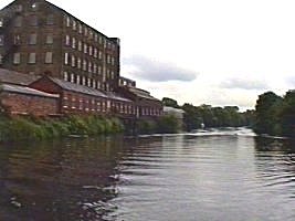 Old mill at Battyeford on the River Calder. Calder and Hebble Navigation. |
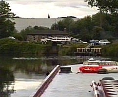 Back off the river at Cooper Bridge Lock. |
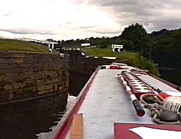 Having passed through Cooper Bridge Cut and back onto the river again we come off at Kirklees low Lock. |
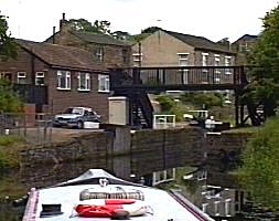 Through Anchor Pit Flood lock and back onto the river. |
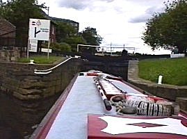 Off the River Calder for the last time at Brighouse Bottom Lock. Calder and Hebble Navigation. |
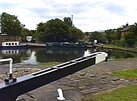 The Brighouse Locks. |
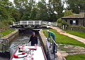 Exiting Gany Lock. Calder and Hebble Navigation. |
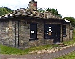 Brookfoot Lock Cottage, lets hope it survives. |
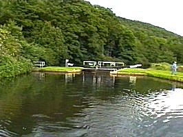 Park Nook Lock. There was a lovely leafy visitor mooring non-towpath side, just below here. The "Rawson Arms" pub was just up the embankment. |
 The "Barge and Barrel" pub in Elland. Calder and Hebble Navigation. |
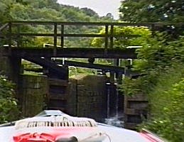 Woodside Mills Lock. |
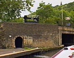 The bridge and towpath tunnel just below Salterhebble Bottom Lock. |
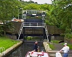 Just leaving Salterhebble Bottom Lock. The guillotine bottom gate was put in during a 1930's road widening scheme. |
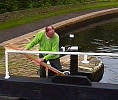 A spikey Salterhebble Middle Lock. We seem to remember that it was this flight where you could not get away without using a handspike. This lock is reckoned to be the shortest Calder and Hebble lock and having a high sill, it does not make any difference what way you are traveling. |
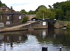 Salterhebble Top Lock. |
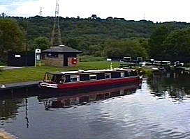 "Beatty" takes on water for the Rochdale Canal, below Salterhebble Top Lock. |
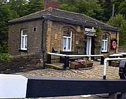 Salterhebble Top Lock cottage. Calder and Hebble Navigation. |
Home Page | "Earnest" | "Beatty" | Canal Restoration