|
The Tuesday Night Club Official Web Site |
The Tuesday Night Club on Tour
Tour 2008
July / August 2008 Trip

Leaving the port of Holyhead.

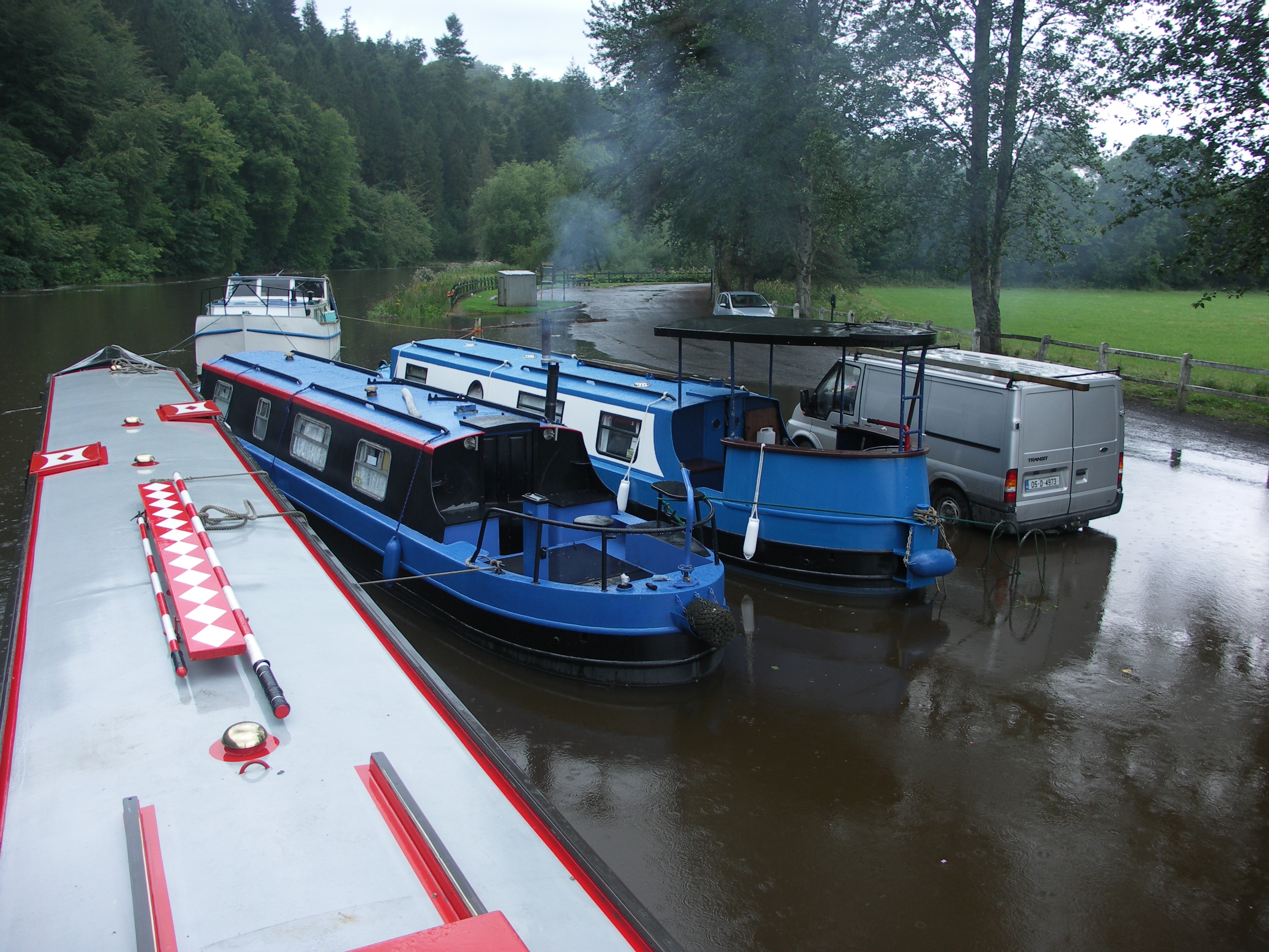
A fine wooden craft spotted on the north Shannon.

Lanesborough power station.
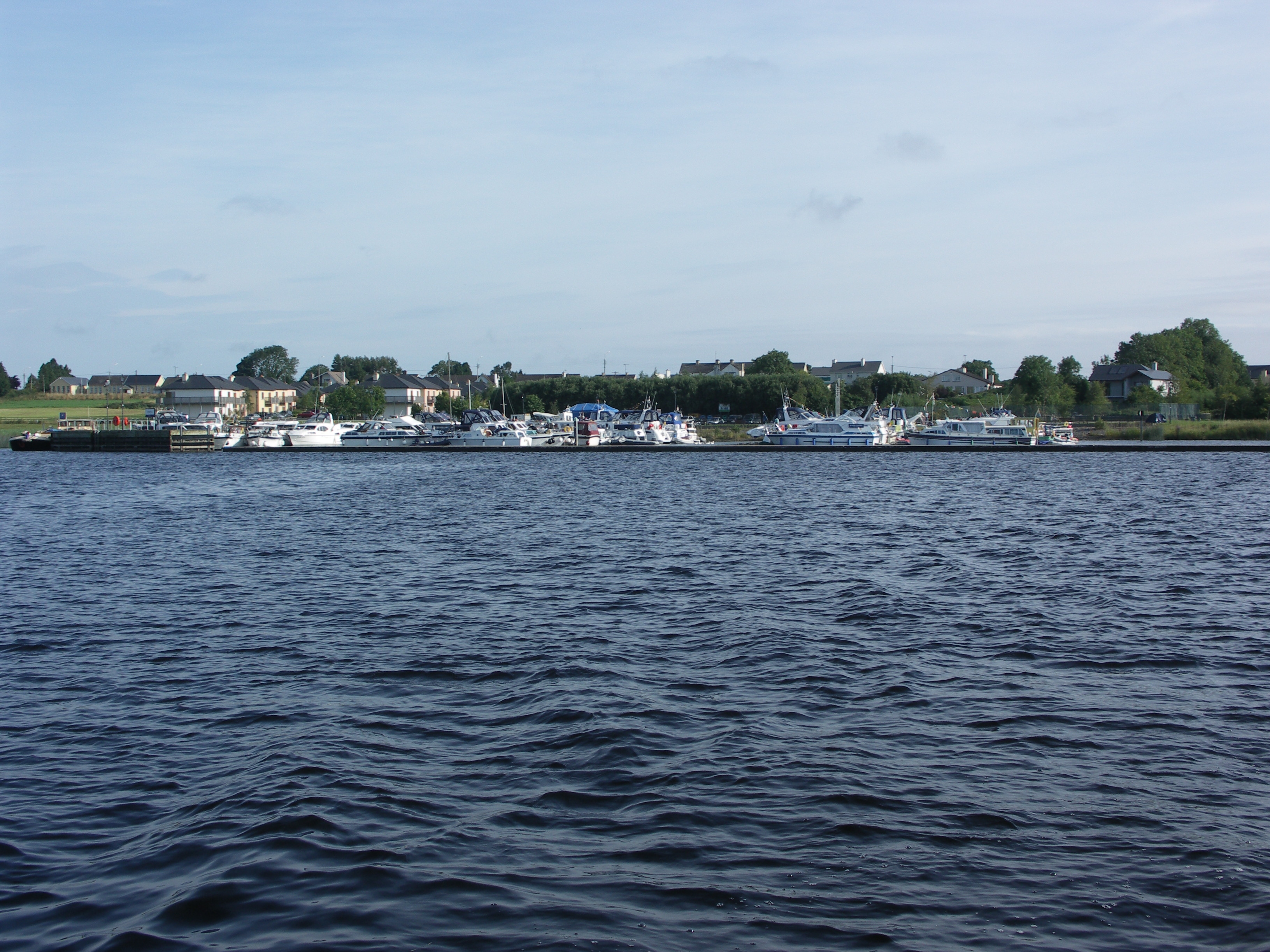
Lanesborough Harbour. Lough Ree
The next series of images are a photo navigation guide to cross Lough Ree, North
to South.
The Lough Ree Shannon charts can be found on the IWAI website, here.

After heading out of the "box" of markers, we head for the indistinct
black drum buoy. Lough Ree.
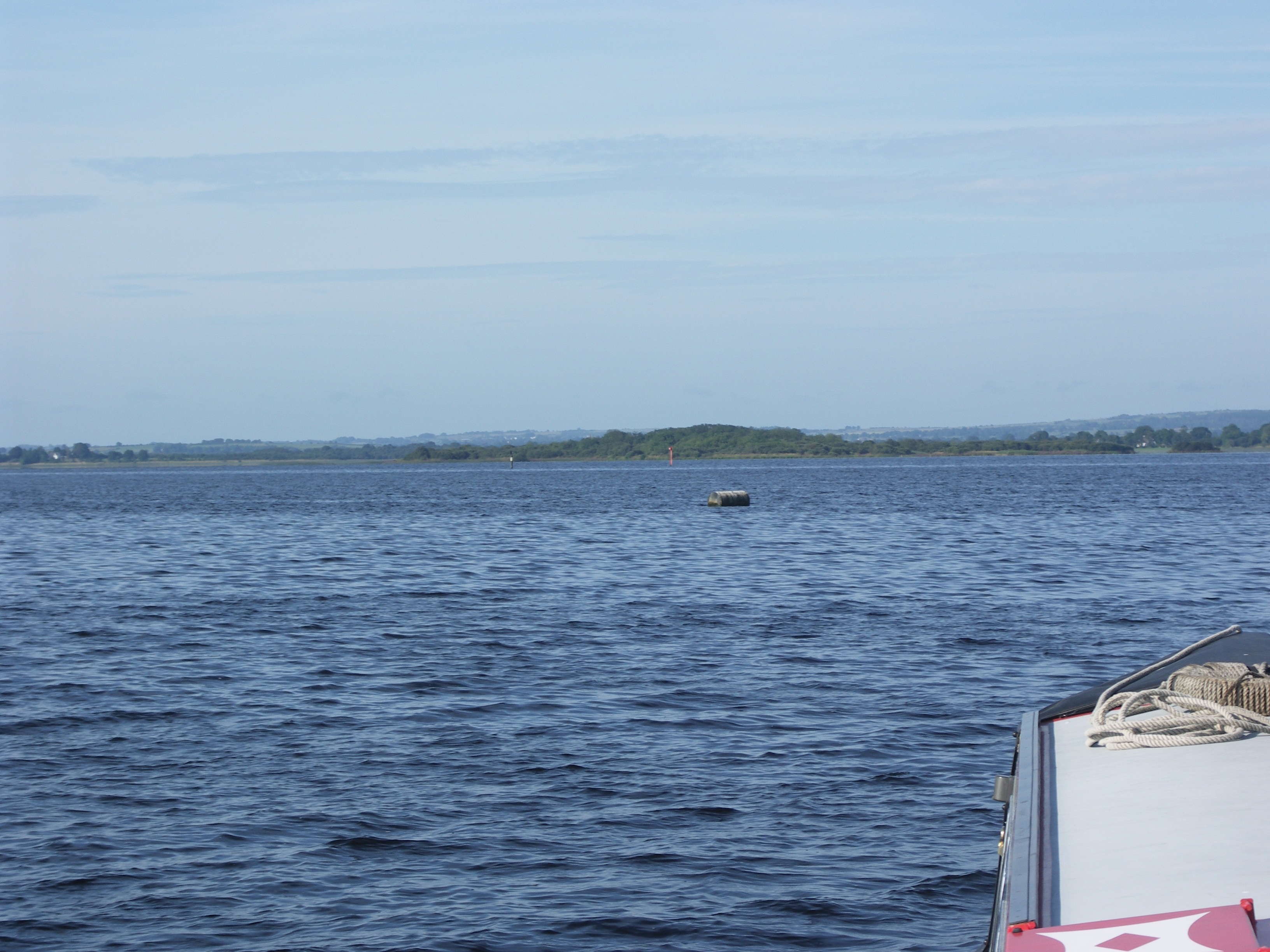
Rounding the black drum buoy. Lough Ree.

The next pair of markers are close together. Lough Ree.

Looking back at the red and black pair of markers. Lough Ree.

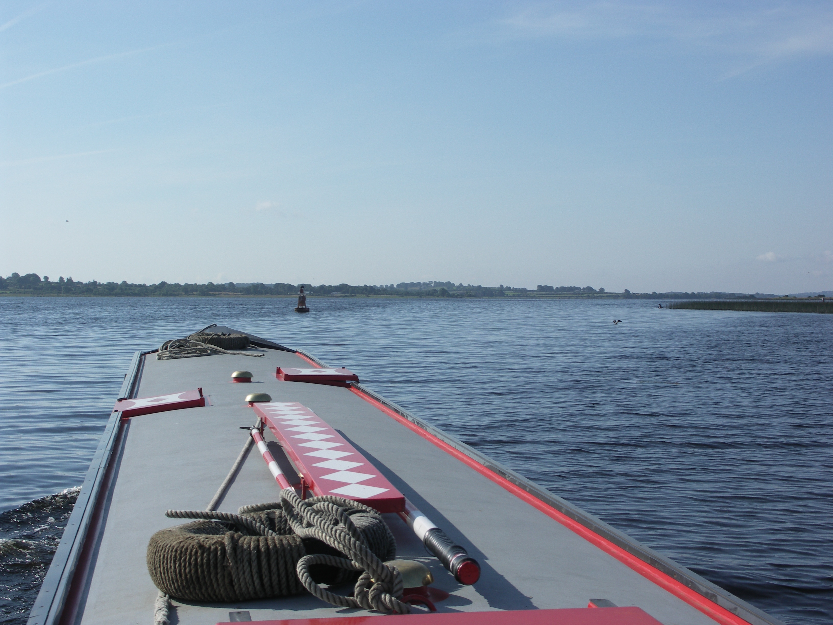
Next we head to round the big black buoy. Lough Ree.

Looking back at the black buoy. Lough Ree.
Heading to pass round the next big red buoy. Lough Ree.

Looking back at the red buoy. Lough Ree.

Heading to pass by Goat, Little and Inchenagh Islands. Lough Ree.

Heading to pass by Goat, Little and Inchenagh Islands. Lough Ree.

Looking back at Goat, Little Islands. Lough Ree.

Rounding Inchenagh Island. Lough Ree.

Rounding the red buoy at the end of Inchenagh Islands. The big black buoy
protecting Millstone Point is beyond the red buoy. Lough Ree.

Coming up to Clawinch Island. Lough Ree.
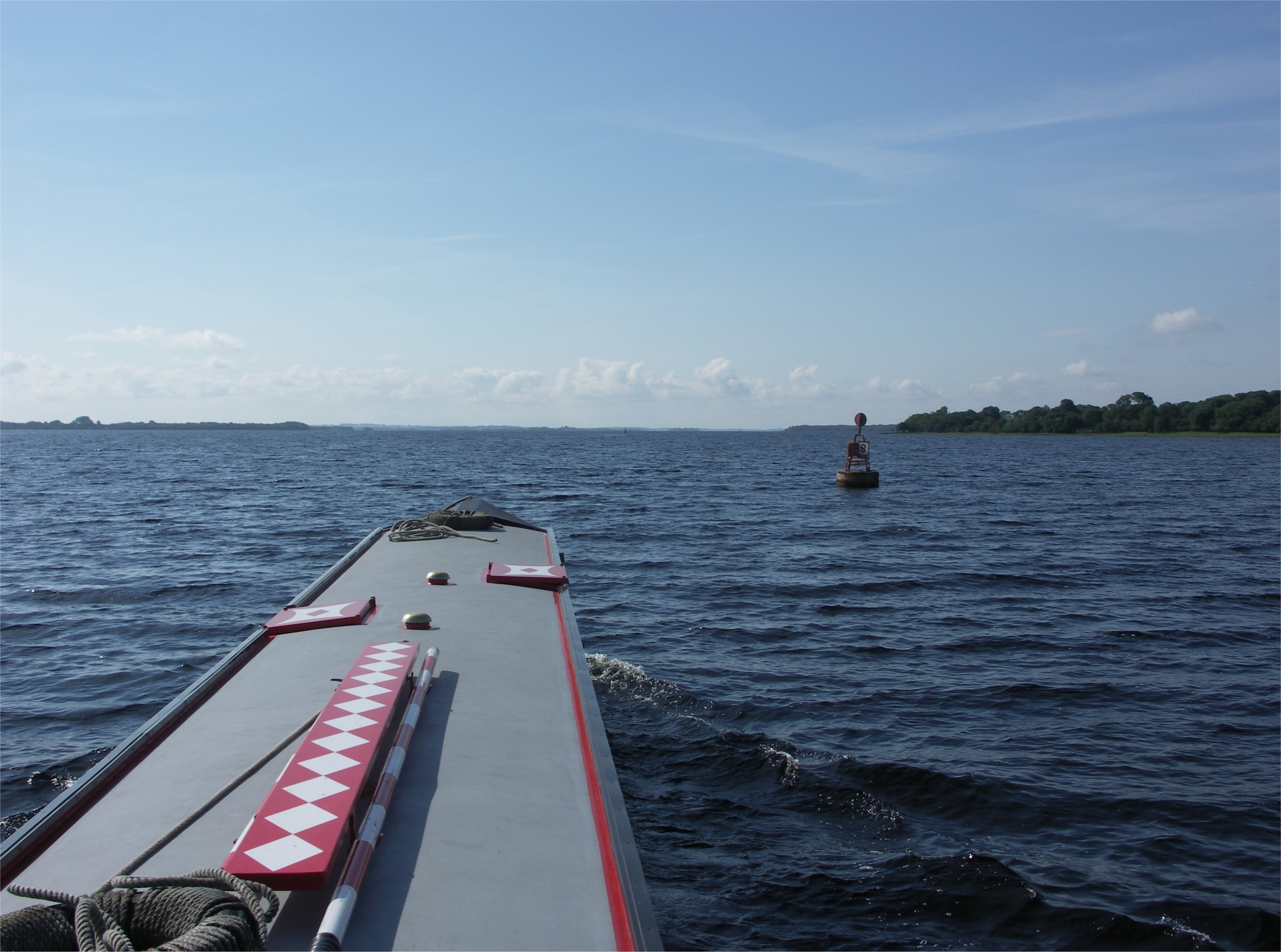
Big red buoy No 8, protecting Muckinsh Island. Lough Ree.

Big red buoy No 7. Lough Ree.

Big red buoy No 7. Lough Ree.

Looking back at big red buoy No 7 and big red buoy No 8. Lough Ree.

Looking back at big red buoy No 6. Lough Ree.
Lough Ree.

Big red buoy No 3. Lough Ree.

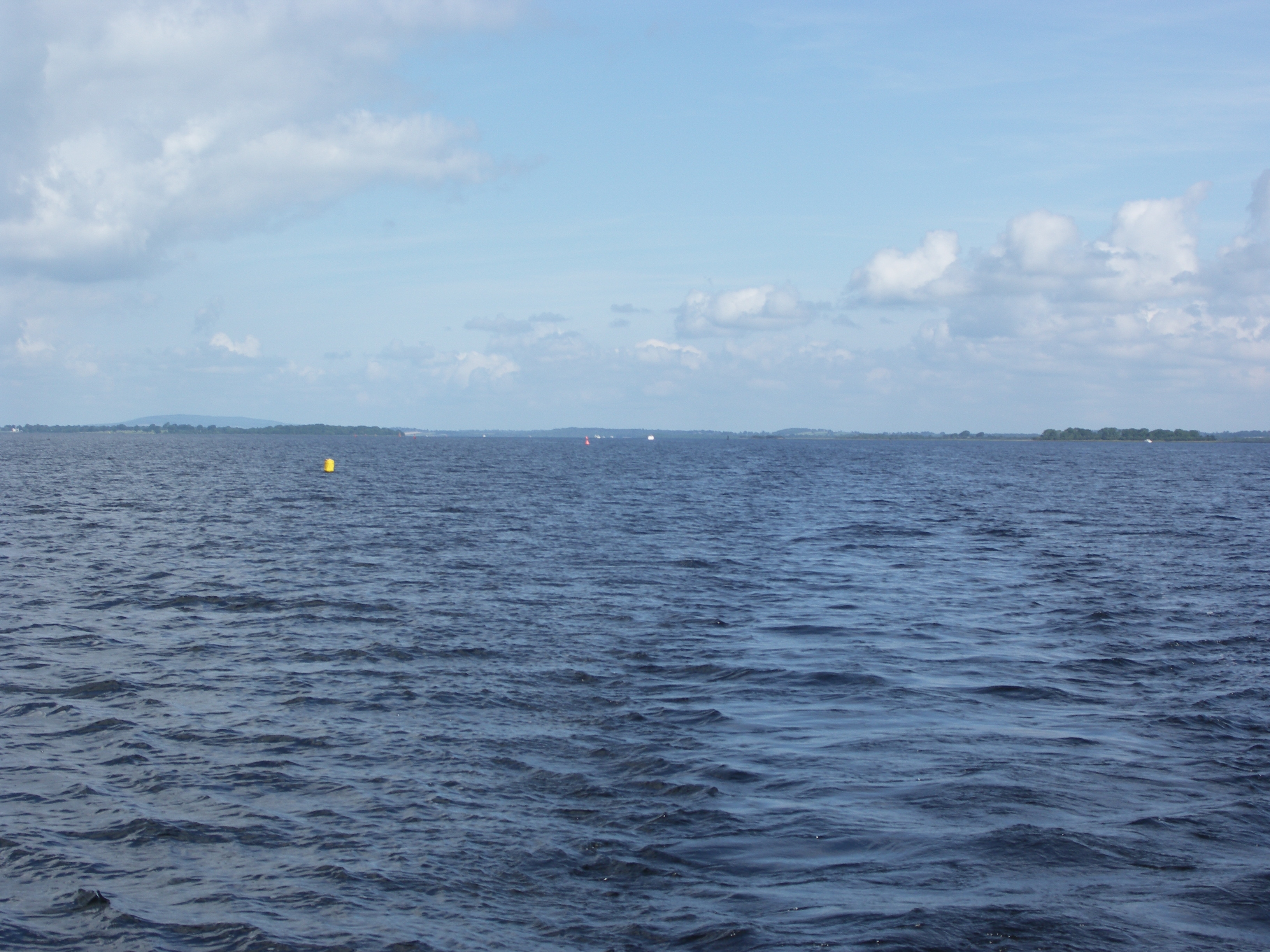
The yellow warning buoys protecting the firing range. Lough Ree.

Looking back at big red buoy No 2. Lough Ree.

Looking back at big black buoy protecting Adelaide Rock. Lough Ree.
Looking back at a yellow racing buoy and big red buoy No 1. Lough Ree.
The exit from the lake. Lough Ree.

Looking back at Big and Little Yellow Islands. Lough Ree.
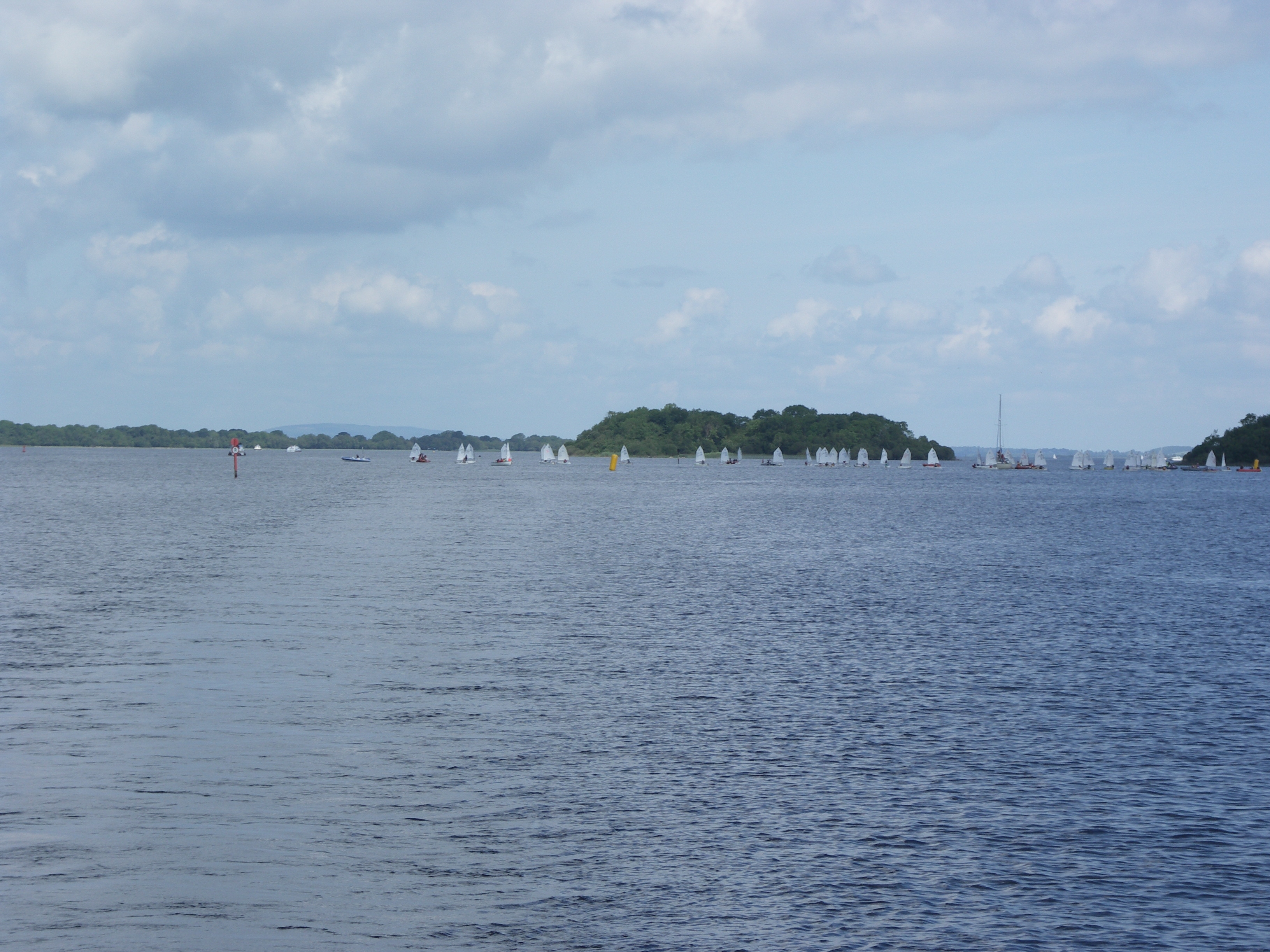
Looking back at Big and Little Yellow Islands. Lough Ree.

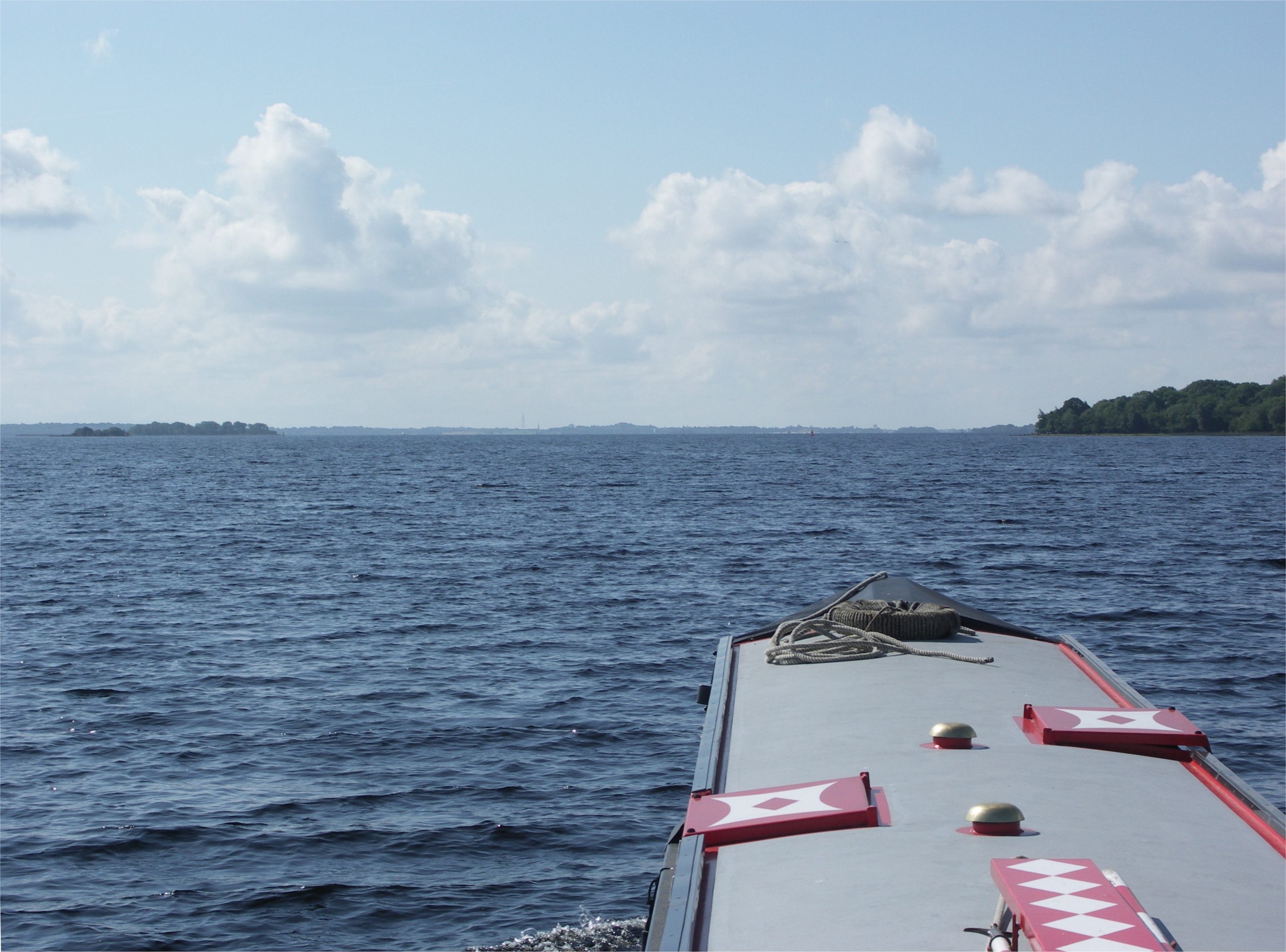
Looking back at Lough Ree.

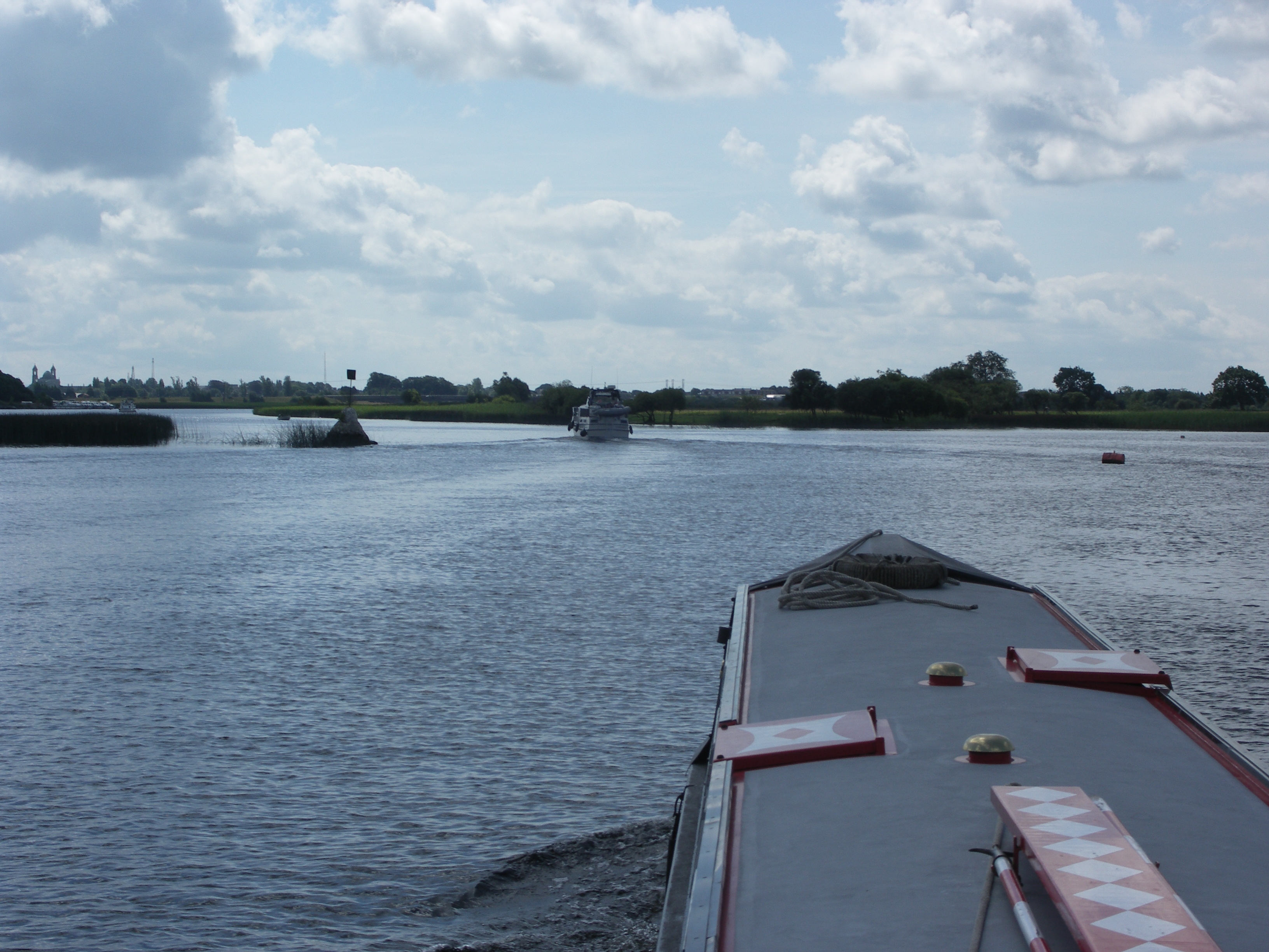
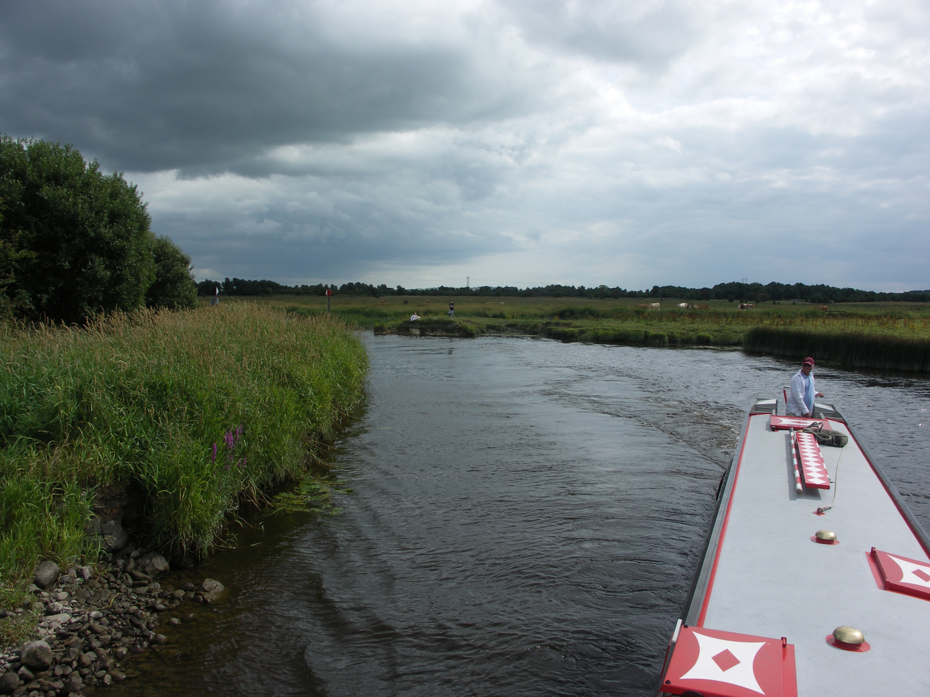
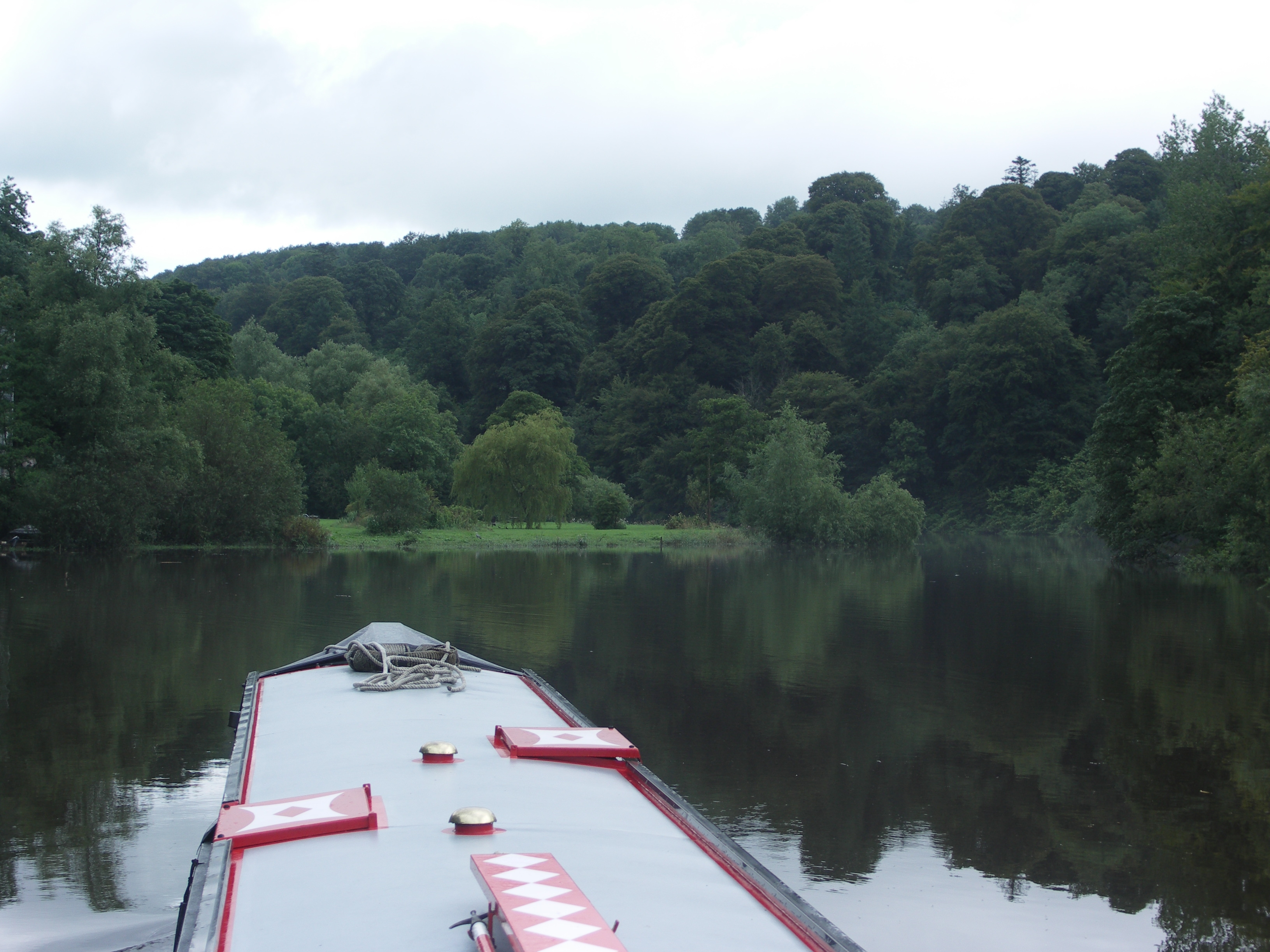
We have just started up the River Suck.

The River Suck Bord Na Mona railway bridge.

River Suck.

River Suck.

River Suck Navigation. Coreen Ford.
River Suck Navigation. The new cut round Coreen Ford.

River Suck Navigation. Coreen Ford.

River Suck Navigation. Coreen Ford.

Ardcam Islands. River Suck Navigation.

Ardcam Islands. River Suck Navigation.

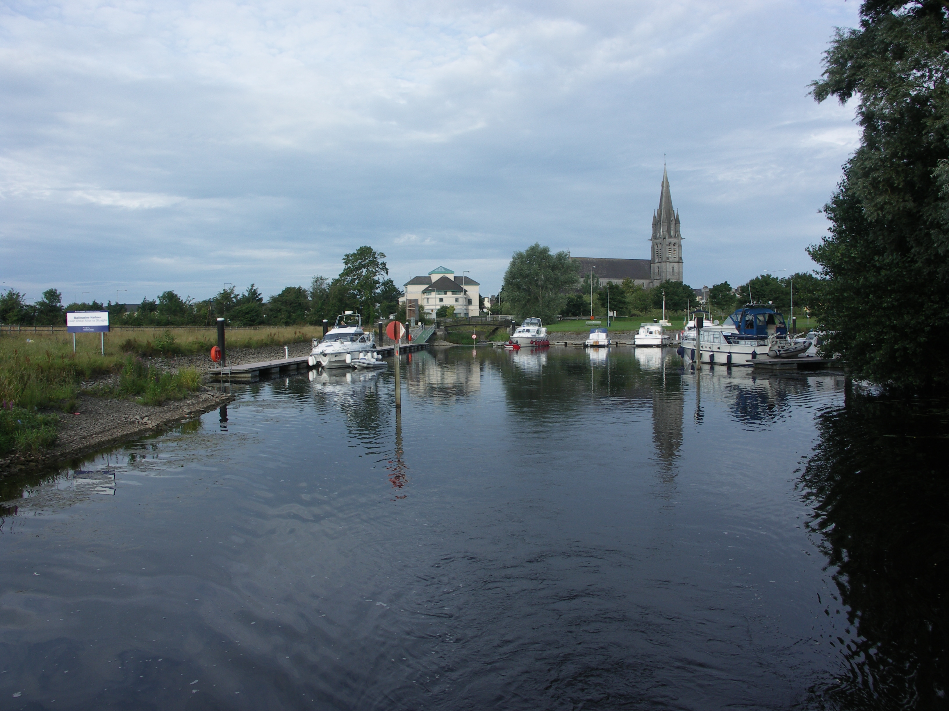
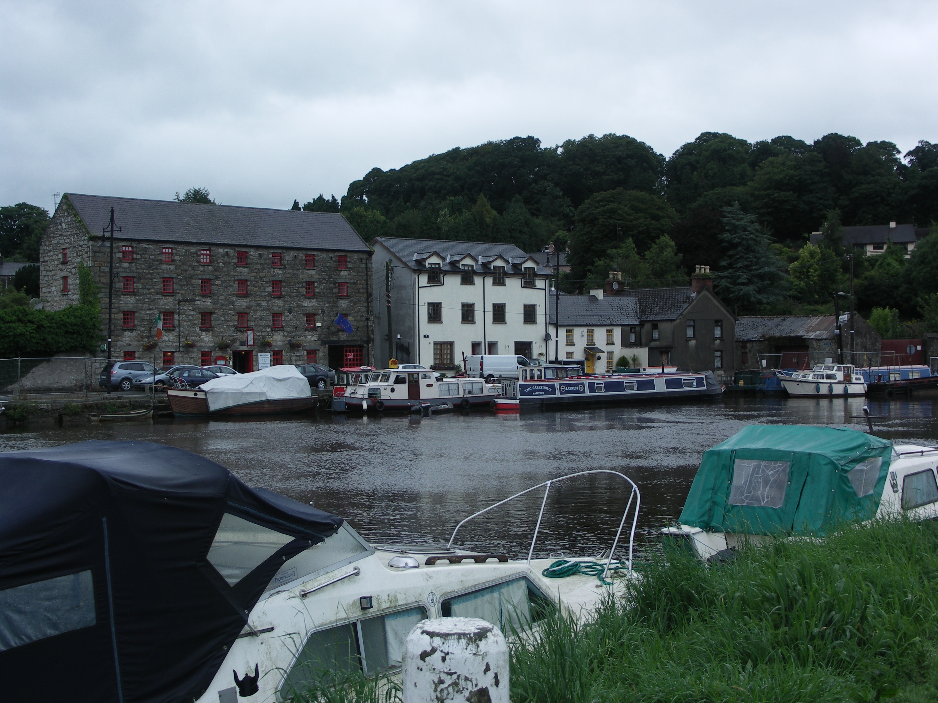
Ballinasloe.

Ballinasloe. We thought that this was a good bit of public art by Ballinasloe
Harbour. Cormorants abound on all the Shannon markers.

Earnest in Ballinasloe Harbour.

Earnest in Ballinasloe Harbour.
Leaving Ballinasloe Harbour. River Suck Navigation.
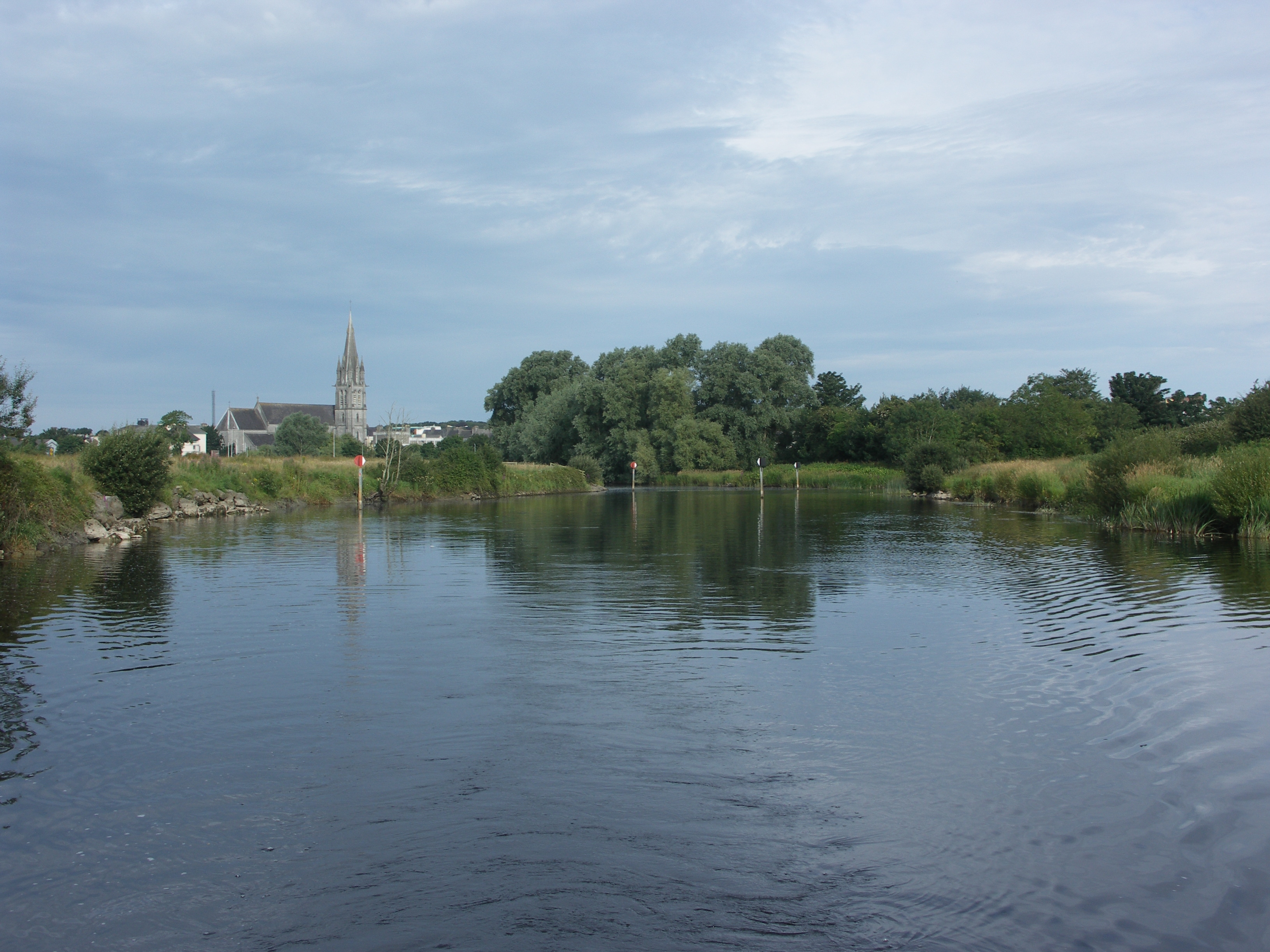
Looking back at Ballinasloe. River Suck Navigation.

Looking back at Ballinasloe. River Suck Navigation.

Looking back at The new marina and restaurant on the outskirts of Ballinasloe.
River Suck Navigation.

Pollboy Lock. River Suck Navigation.
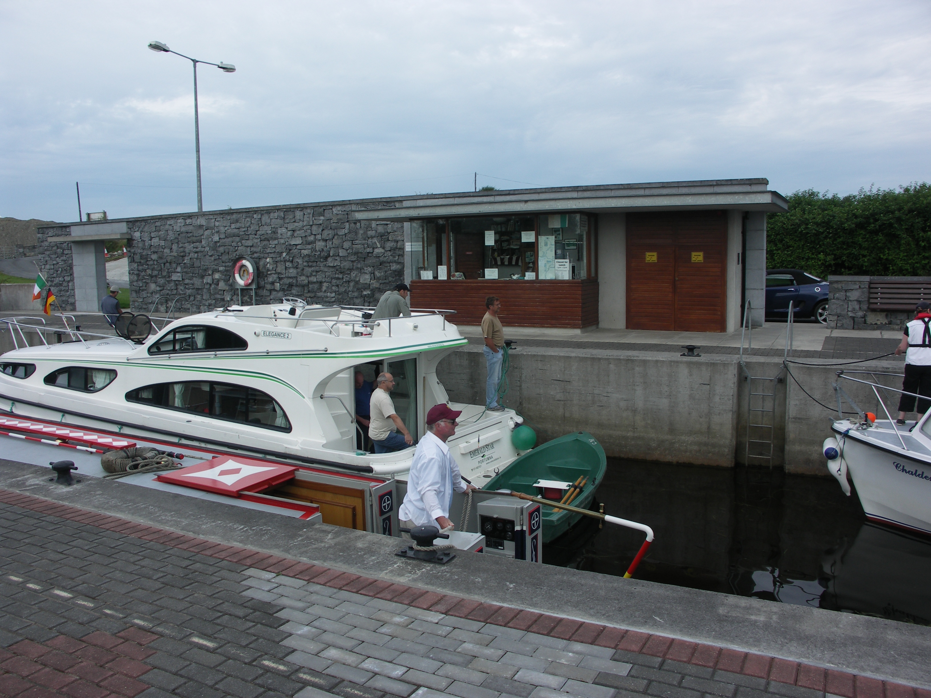
Pollboy Lock. River Suck Navigation.

Pollboy Lock. River Suck Navigation.

Pollboy Lock. River Suck Navigation.

Pollboy Lock. River Suck Navigation.

Looking back at Pollboy Lock cut. River Suck Navigation.

Alan Wynne, the lock keeper at Belmont Double Lock No 33 chats to Neil. Grand
Canal, Shannon Line.

Pollagh. Grand Canal, Shannon Line.

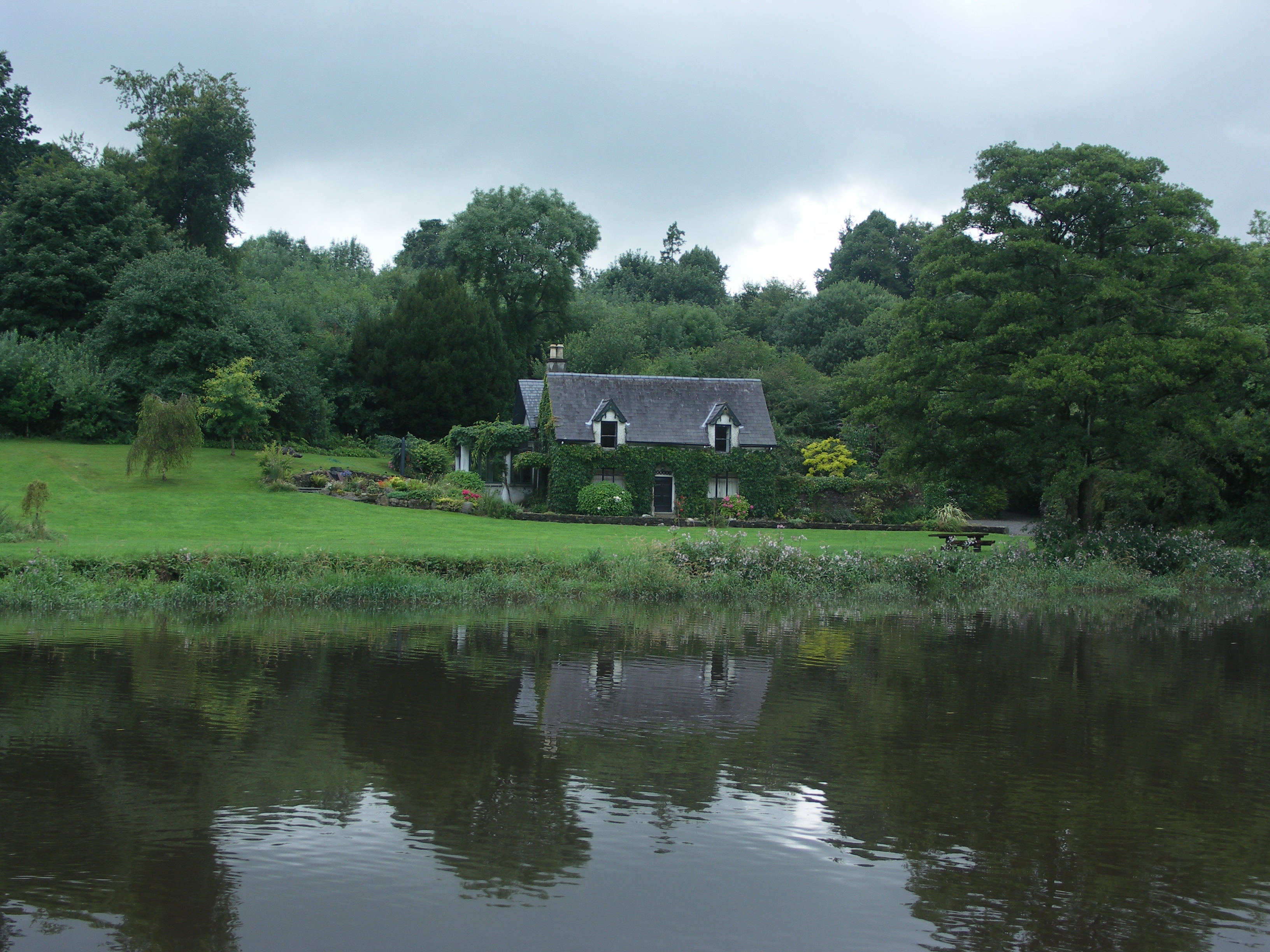
Overnight stop above Lock No 29 at Ballycowan. Grand Canal, Shannon Line.

Overnight stop above Lock No 29 at Ballycowan. Grand Canal, Shannon Line.
Our first time stopping at Graiguenamangh. Barrow Navigation.

New Ross.
Approaches to Inistioge, the end of the tidal River Nore.
Approaches to Inistioge, the end of the tidal River Nore.
Inistioge Wharf, waiting for high water. Tidal River Nore.

Inistioge, waiting for high water. Tidal River Nore.

Inistioge. high water! Tidal River Nore.

Early morning run up the Tidal River Barrow at high water.

Early morning run up the Tidal River Barrow at high water. Ferrymountgarrett
Bascule Bridge.

The Steamer Hole Wharf at St Mullins. Tidal River Barrow.

The Steamer Hole Wharf at St Mullins. Tidal River Barrow.

St Mullins. Tidal River Barrow.

St Mullins Tidal Lock. Tidal River Barrow.

We catch the Barrow in mild flood. At this point we barely make any headway.

There is a weir back there somewhere! River Barrow.

Leighlinbridge. Castle and bridge. River Barrow.

Above Leighlinbridge we catch the worst of the runoff. River Barrow.

Athy Lock No 27. Barrow Line of the Grand Canal.

Athy Lock No 27 from the old wharf. Barrow Line of the Grand Canal.
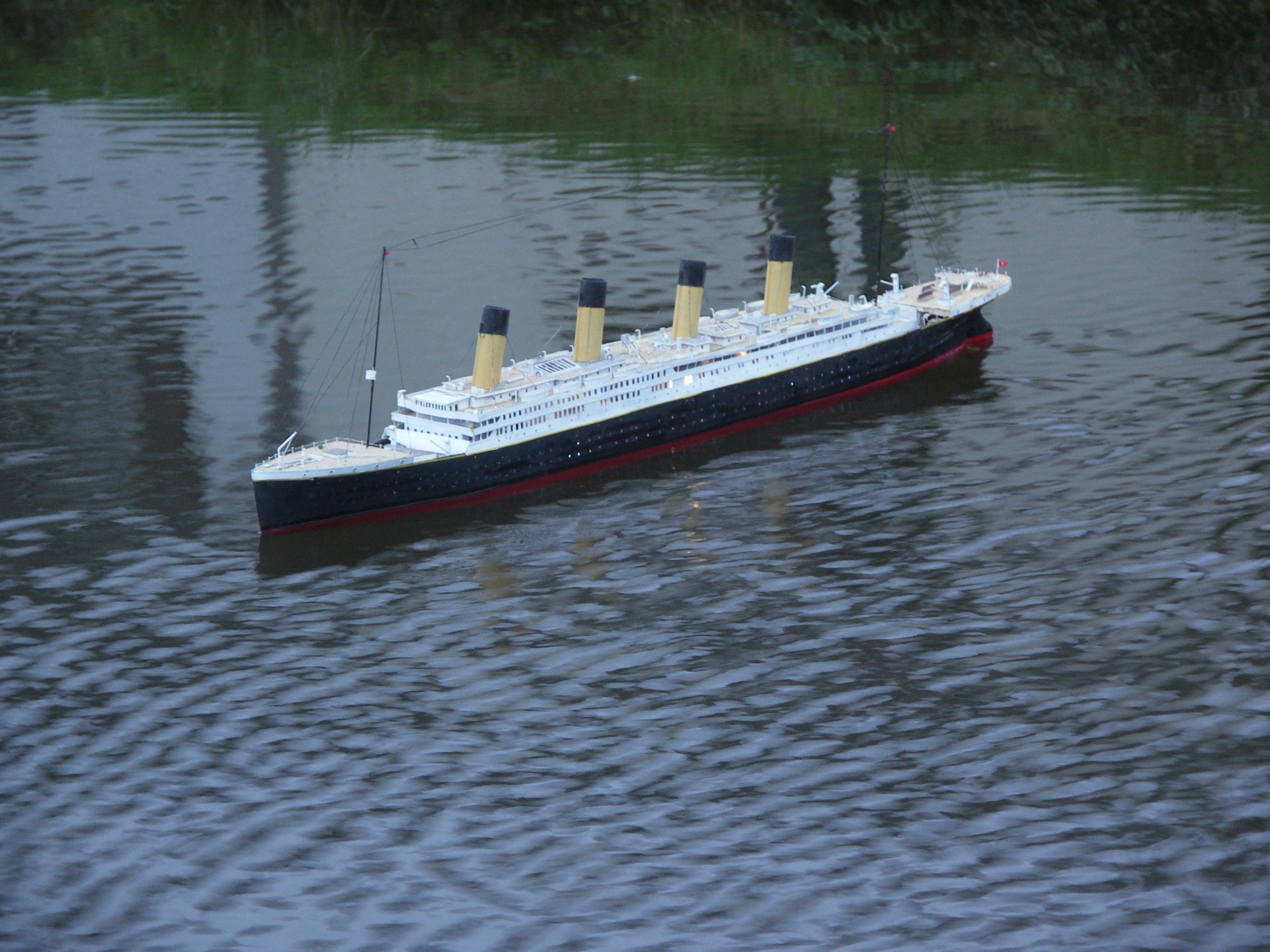
At Monasterevin we nearly bump into the SS Titanic! Barrow Line of the Grand
Canal.
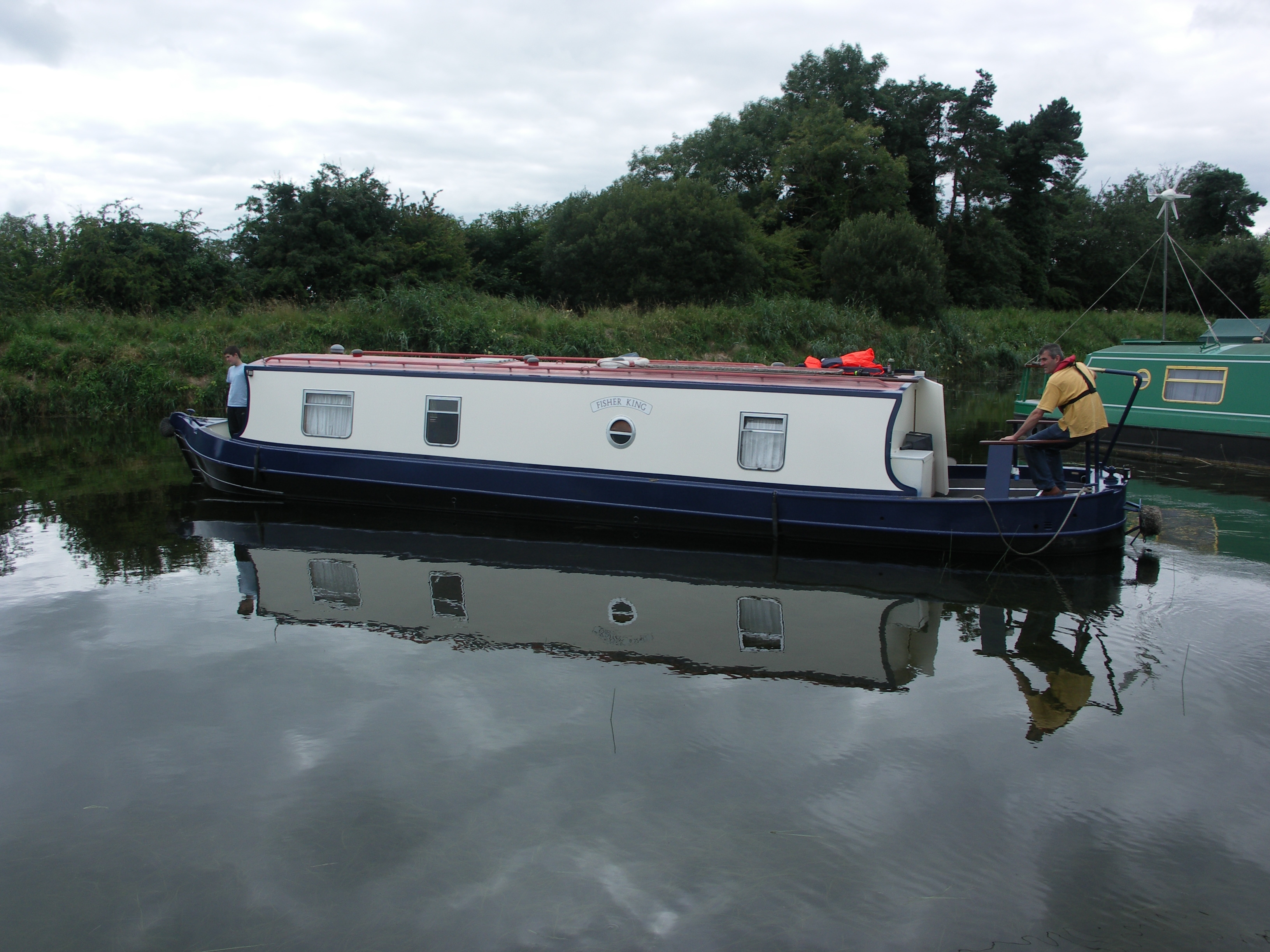
The ex-Canalways hire boat "Fisher King". This was the R&D boat
Andrew at Woodworks fitted before Earnest. Lowtown have just given it a spiffing
new paint job.

The barge "Iron Lung". Grand Canal, Shannon Line.

The barge "Iron Lung". Grand Canal, Shannon Line.

The Grand Junction Canal mile post at Shannon Harbour. This spoof was presented
by Tim Coughlan of Braunston Marina.

At Dromaan Harbour we meet up with the Goggins and decide to enter the inner
harbour...because we could! Lough Derg.

Earnest in the inner harbour at Dromaan. Lough Derg.

Threatening clouds over Dromaan. Lough Derg.

Dromaan. Lough Derg.

The mighty barge Knocknagow, we were en-route to Rossmore and the Woodford
River. Lough Derg.

The mighty barge Knocknagow. Lough Derg.

Knocknagow on the Connor Hogan Jetty up the Woodford River.
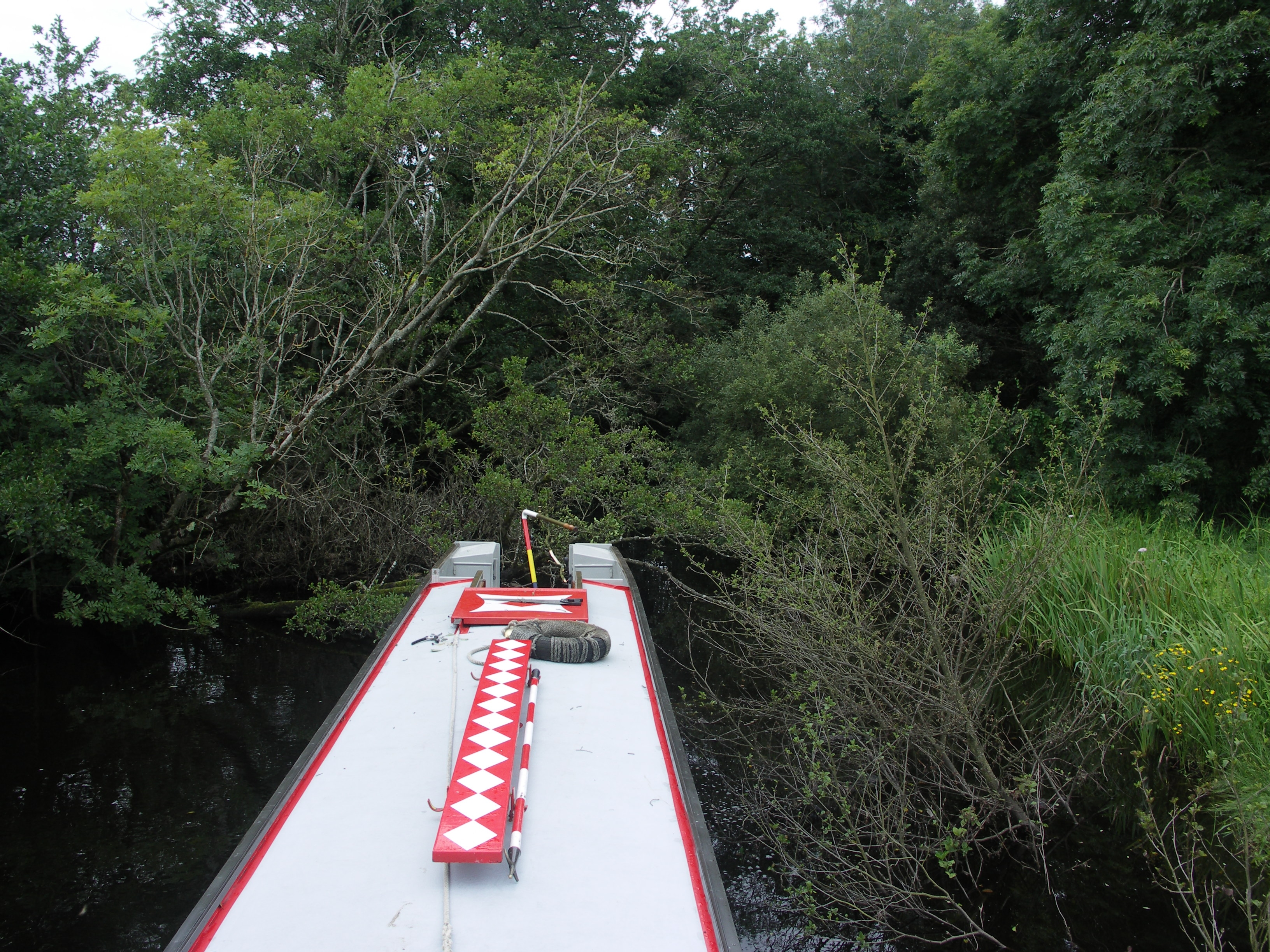
Ernest gets up the Woodford River, beyond the next bend.
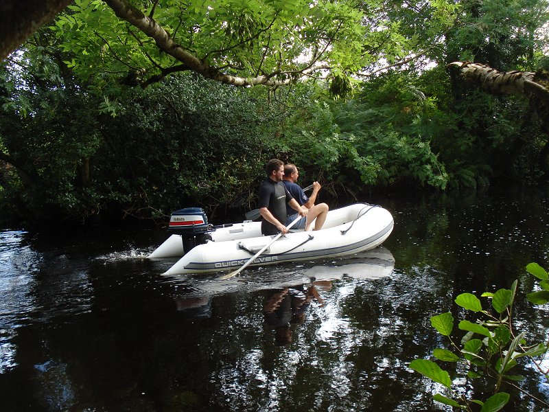
We explore further up the Woodford River, hoping to get to the first bridge.
Much tree cutting ensues.
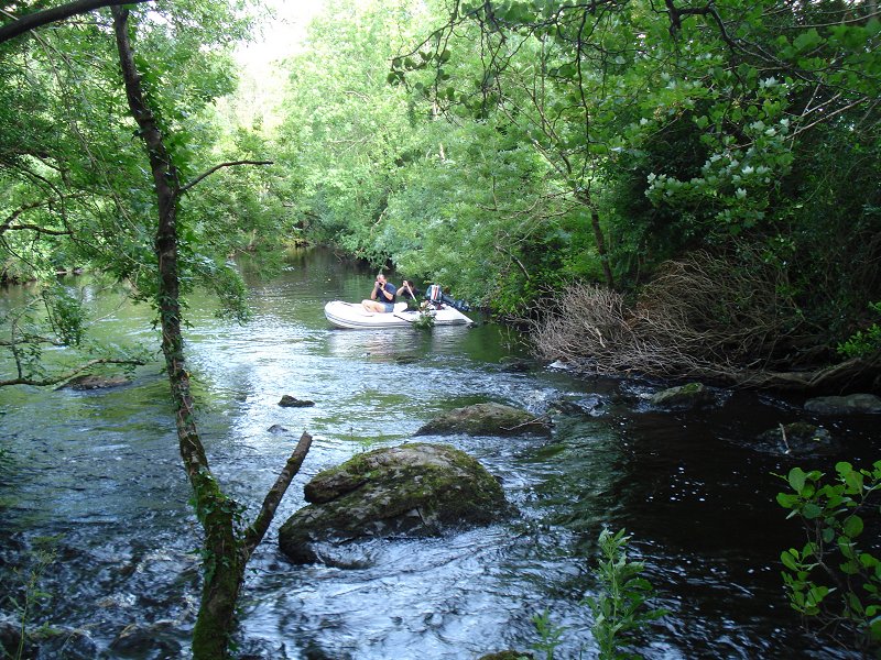
Almost within sight of the bridge we come across a waterfall! Woodford River.
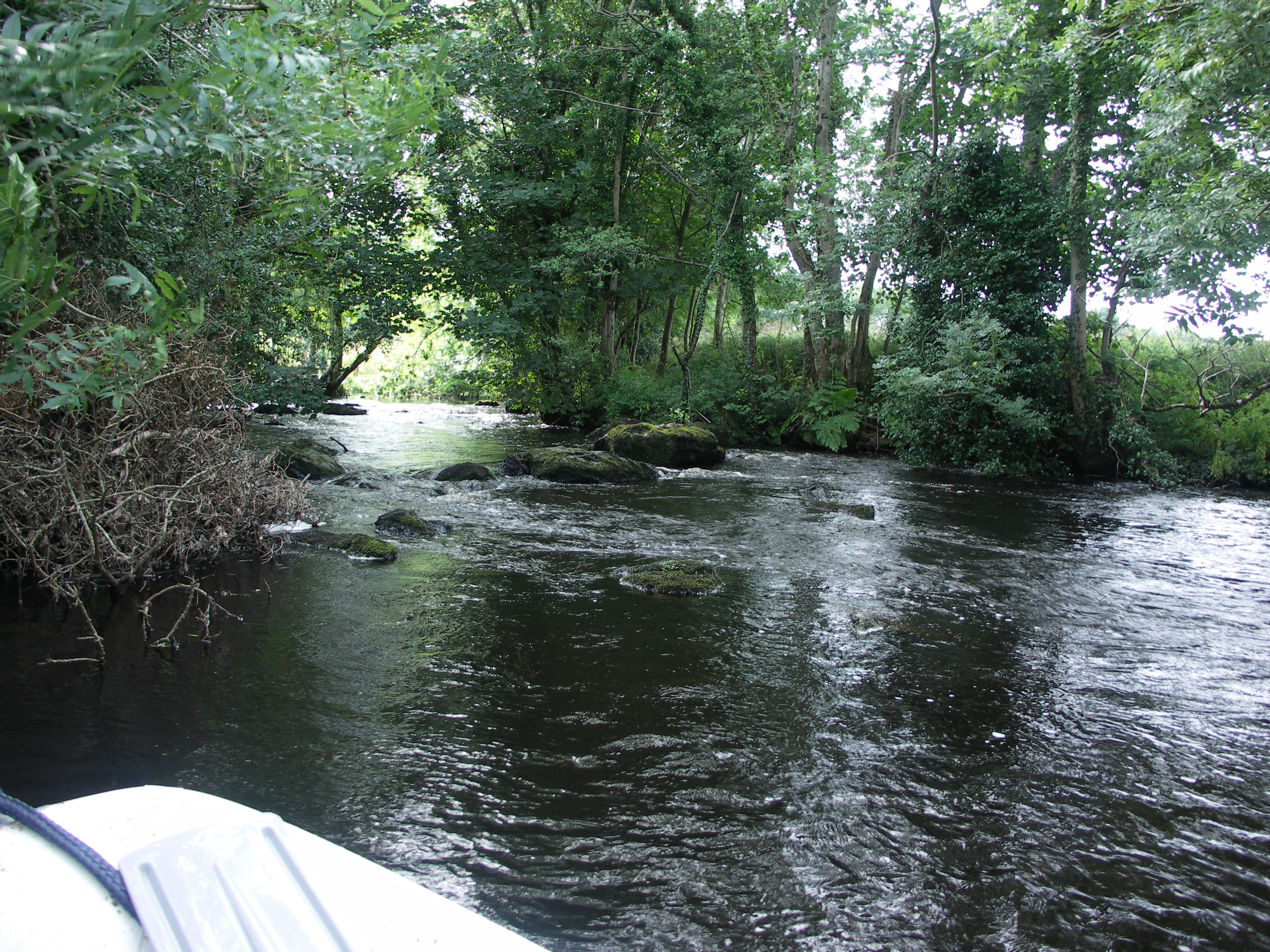
Almost within sight of the bridge we come across a waterfall! Woodford River.

M barge on the Shannon.

Brilliant weather at Athlone. River Shannon Navigation.

MB Snipe. Athlone. River Shannon Navigation.

We have a day trip to the Lower Bann Navigation (see link),
Giant's Causeway and the Antrim Coast

Giant's Causeway

Giant's Causeway

Giant's Causeway

Giant's Causeway

Giant's Causeway

Giant's Causeway
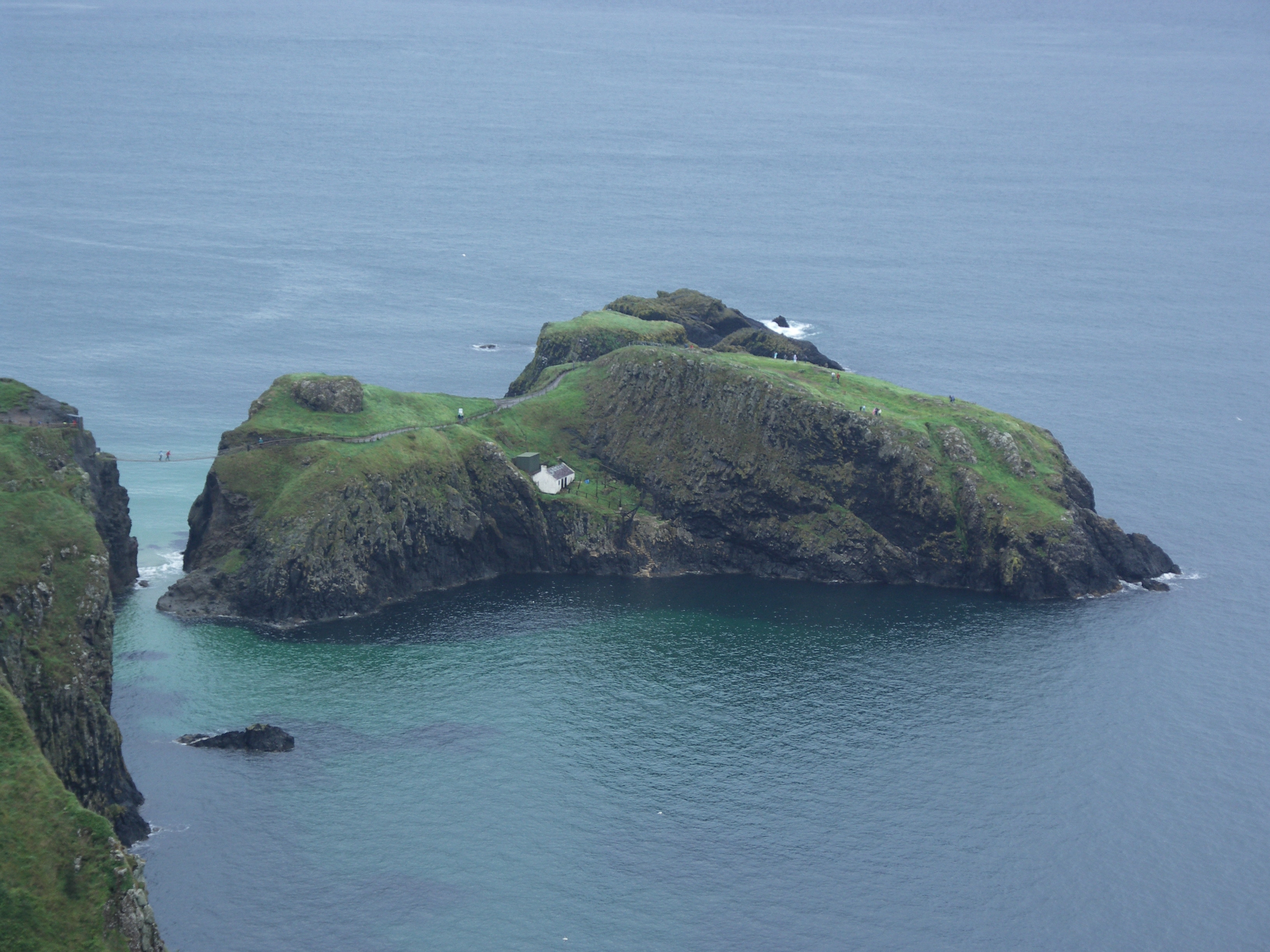
Antrim Coast, rope bridge to Carrickarade Island

Antrim Coast. Ahead is Rathlin Island and beyond the Mull Of Kintyre.

Ailsa Craig.

The Mull Of Kintyre in the distance.

Antrim Coast. Cushenden.

Looking back at Carnlough. Antrim Coast.

Larne.
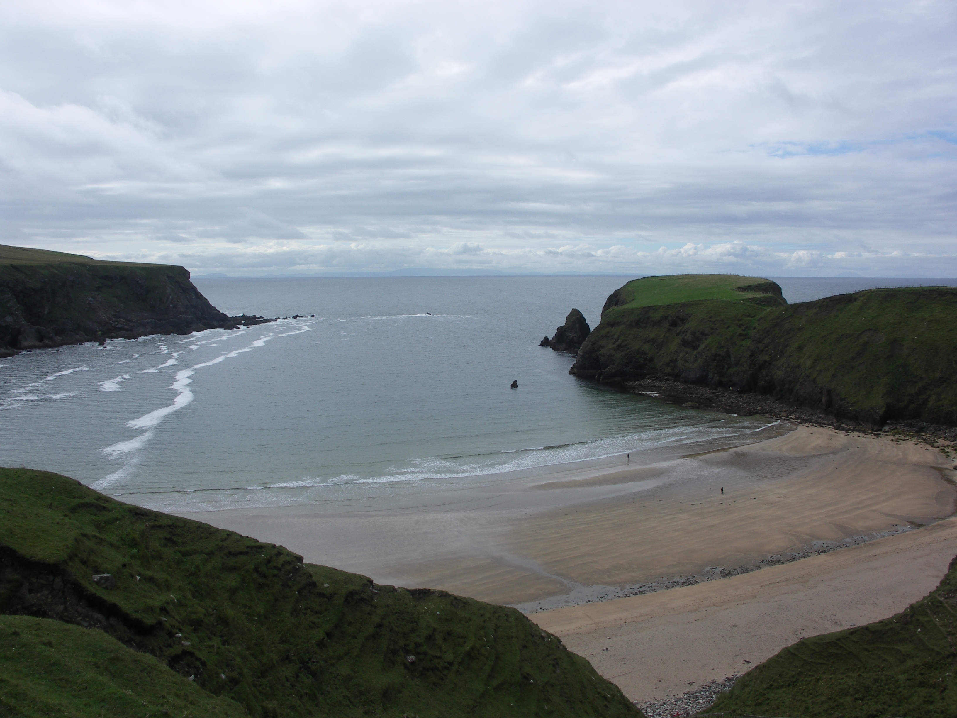
Donegal Coast. Malin Beg bay.

Donegal Coast. Ratlin O'Birne Island.

Donegal Coast. Glen Head.

Donegal, the wilds beyond Meenacross.

Donegal, the wilds beyond Meenacross.

Donegal, looking down to Loughros Bay.

Donegal, Loughros Bay.

Looking back up to Crockuna. Donegal.

Donegal, Loughros Bay.

Donegal Coast.
Home Page | "Earnest" | "Beatty" | Canal Restoration